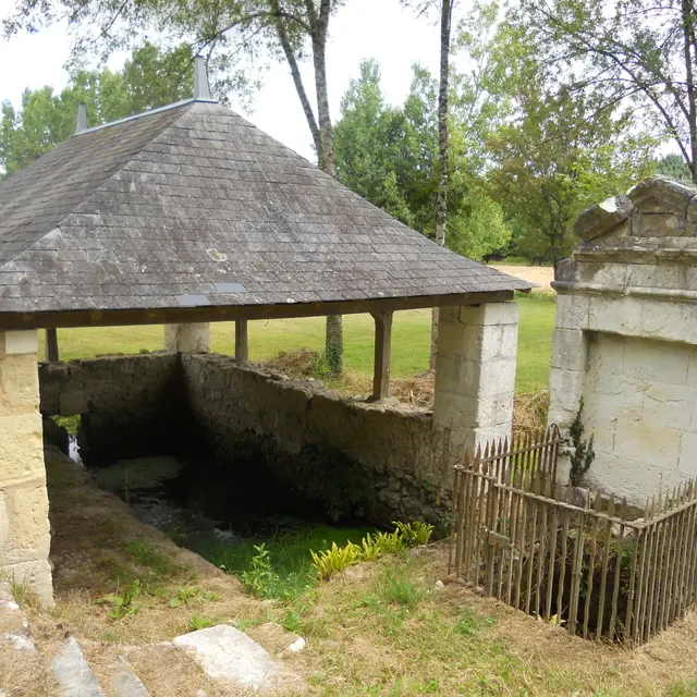
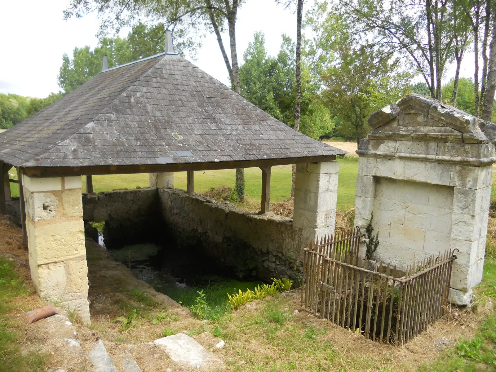
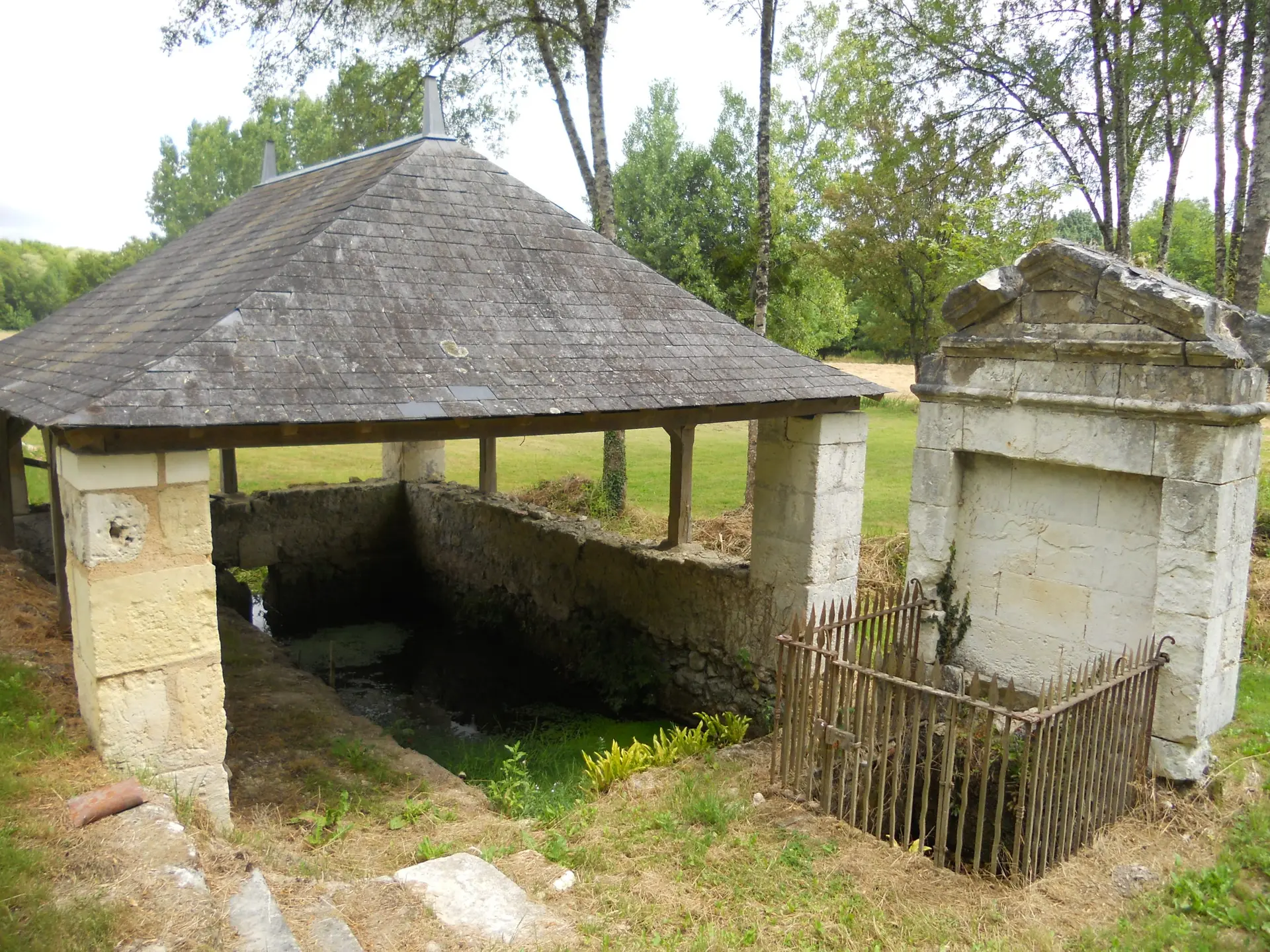
The many private chateaux and troglodytic sites together with paths through the woods make this walk enjoyable and attractive.
The many private chateaux and troglodytic sites together with paths through the woods make this walk enjoyable and attractive.
Read more