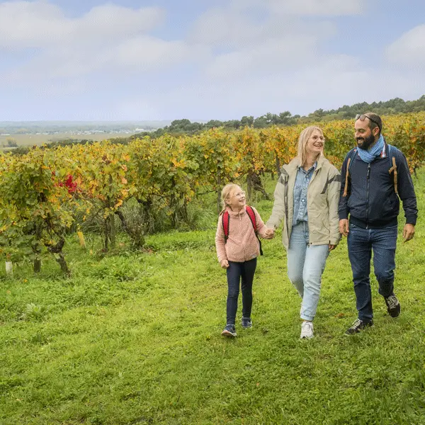
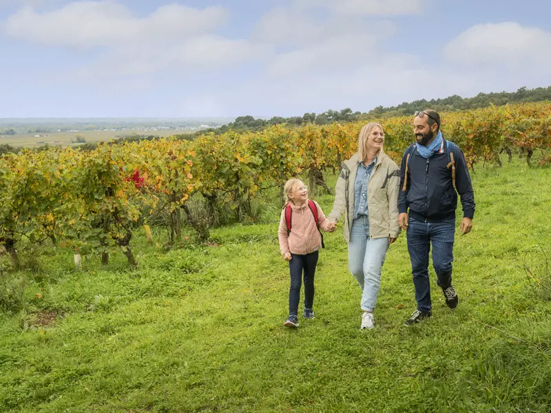
A loop that allows you to wander through the vineyards on quiet country roads. Signs on the interpretation trail combine walking and discovery.
A loop that allows you to wander through the vineyards on quiet country roads. Signs on the interpretation trail combine walking and discovery.
Read more