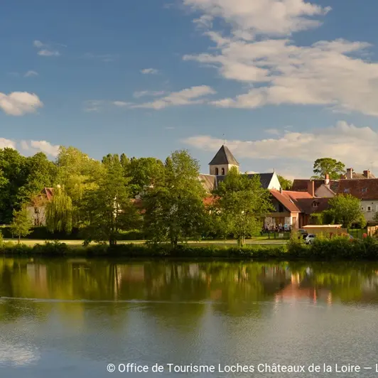
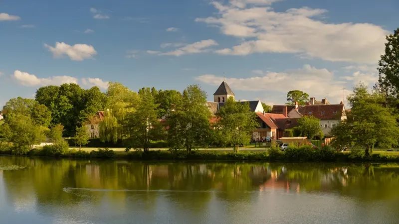
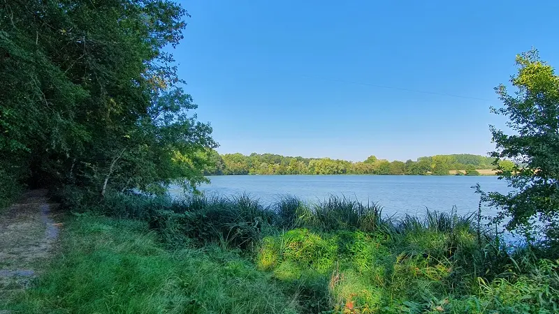
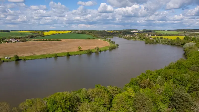
In Chemillé-sur-Indrois, you won't be able to see the vast lake at a glance. You'll have to walk along it, then away from it, through the forest to discover a chartreuse, before finally coming back to it and taking in the view from above.
In Chemillé-sur-Indrois, you won't be able to see the vast lake at a glance. You'll have to walk
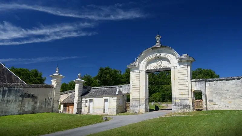
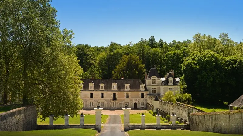
walk along it, then away from it, through the forest to discover a Carthusian monastery, before finally returning to it and taking in the view from above. A route that will delight nature and heritage lovers.
Read more