Saddle up for a fun-filled tour of the Touraine countryside!
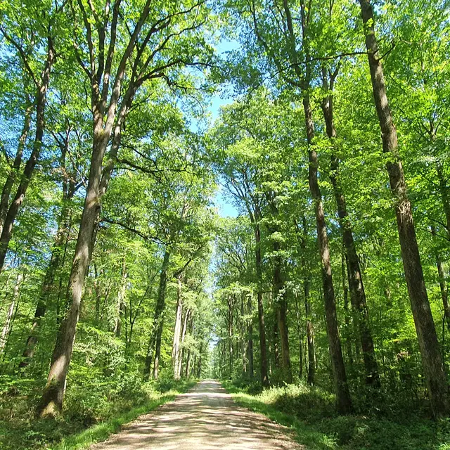
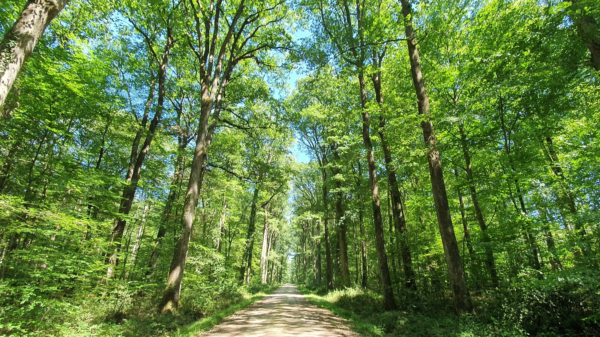
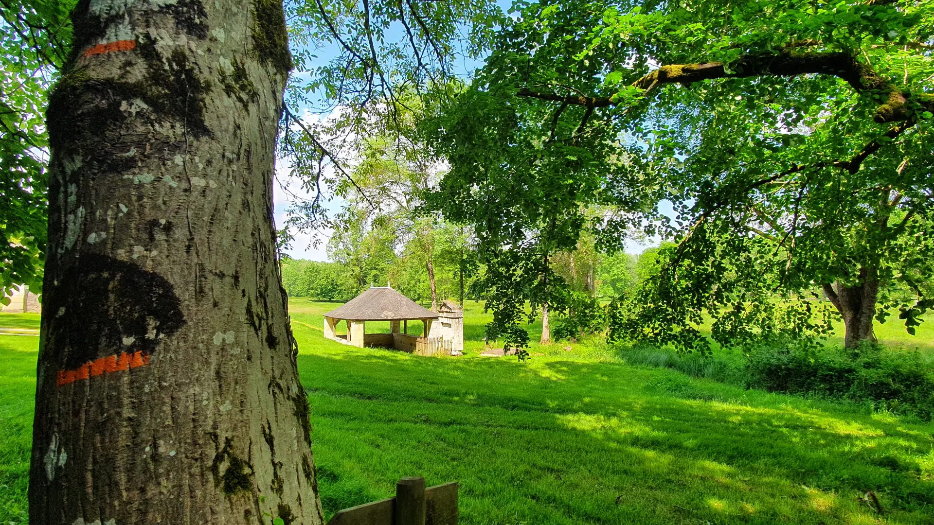
Put together a ride of one, two, three or even four days, and set off to discover our rolling countryside and heritage? The paths will take you through the former Forêt royale de Loches, now a national forest, across the agricultural plains and into the valleys. Along the way, you'll come across villages with evocative names, such as romantic Montrésor, century-old trees and a healing spring, a vast lake and a bucolic Carthusian monastery. And, of course, architectural masterpieces: châteaux are never far away in the Loire Valley!
So take the reins and head off to the farthest reaches of Touraine to discover the gentle art of strolling?
Read more