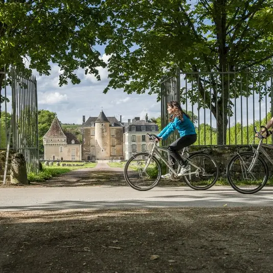
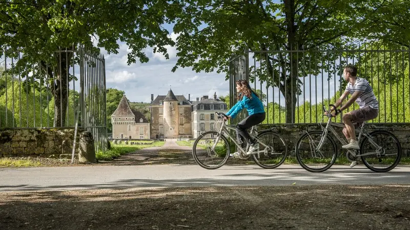
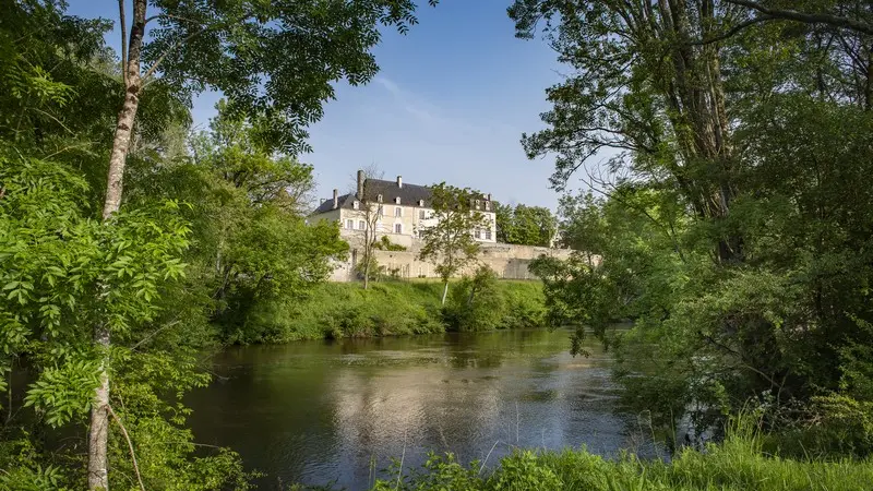
Brace those calf muscles ... this trail is the longest ... and the furthest south in the département! Wind your way between the Claise and Creuse valleys to where three historical provinces meet: Touraine, Berry and Poitou. Listen closely and you might just hear the cicadas singing.
Brace those calf muscles ... this trail is the longest ... and the furthest south in the département! Wind your way between the Claise and Creuse valleys to where three historical provinces meet: Touraine, Berry and Poitou. Listen closely and you might just hear the cicadas singing.
Read more