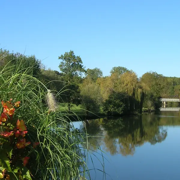
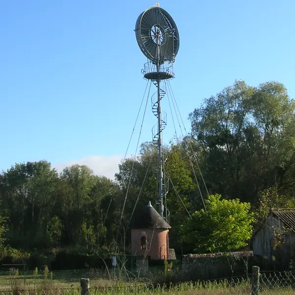
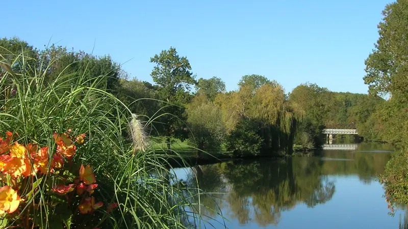
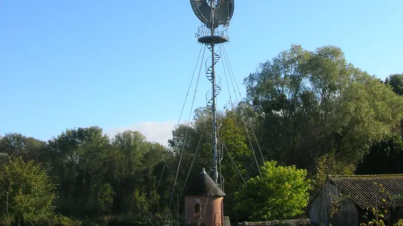
A series of plateaus, lakes, castles, mills and bridges come one after the other... and make this trail a showcase for built and natural heritage.
A series of plateaus, lakes, castles, mills and bridges come one after the other... and make this trail a showcase for built and natural heritage.
Read more