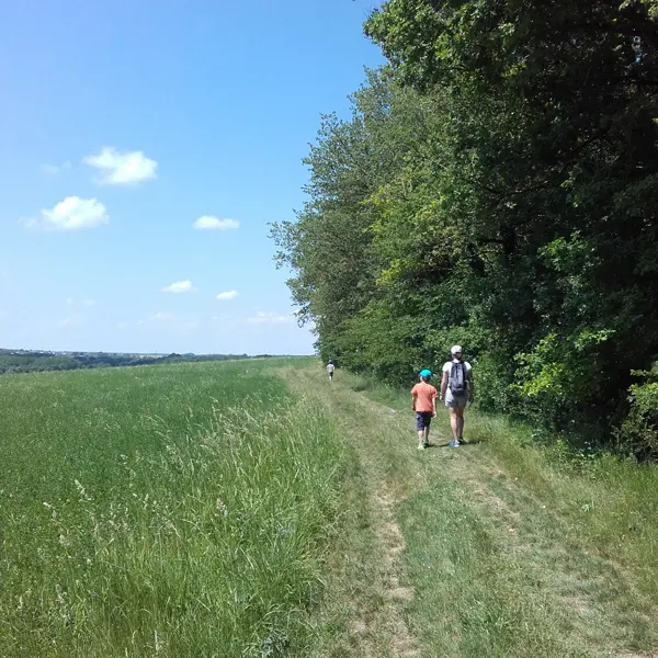
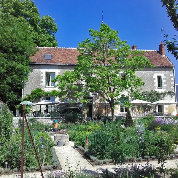
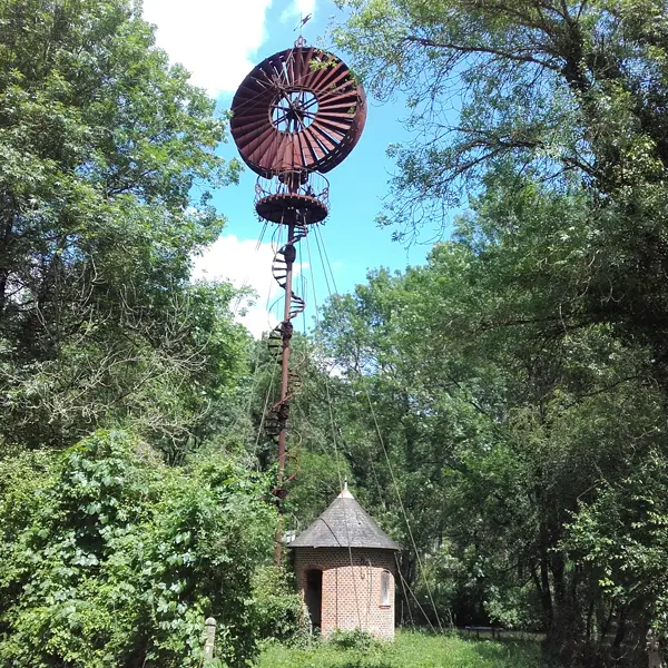
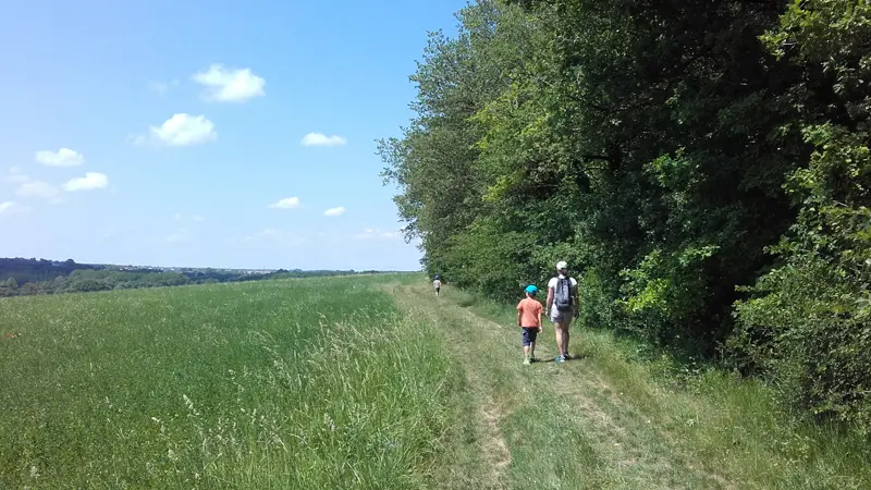
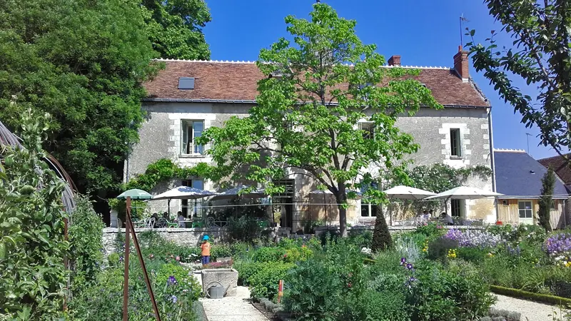
This 13 km ramble and 8 km alternative route pass through three charming villages: Chédigny, Azay-sur-Indre and Chambourg-sur-Indre. Discover the Indre and Indrois valleys and their rich natural heritage.
This 13 km ramble and 8 km alternative route pass through three charming villages: Chédigny, Azay-sur-Indre and Chambourg-sur-Indre. Discover the Indre and Indrois valleys and their rich natural heritage.
Read more