Aller au contenu principal
Virtual assistant
Voir les favoris
en
Seminars
Press
Travel professionals
Tourainfopro
Tourism and Disability
Menu
Touraine Val de Loire
Discover Touraine
Val de Loire, patrimoine mondial de l'humanité (UNESCO). Ville d'Amboise
©
Val de Loire, patrimoine mondial de l'humanité (UNESCO). Ville d'Amboise
The Loire Valley, a World Heritage Site
Le château de Chenonceau, dans la grande collection des Châteaux de la Loire. Val de Loire, France.
©
Le château de Chenonceau, dans la grande collection des Châteaux de la Loire. Val de Loire, France.
The Loire Valley Châteaux
pique-nique dans les vignes Touraine Nature à Bourgueil
©
pique-nique dans les vignes Touraine Nature à Bourgueil
Beautiful vineyards, beautiful dishes
Nature spots overlooking the Domaine Lambert in Cravant-les-coteaux
©
Nature spots overlooking the Domaine Lambert at Cravant-les-coteaux
Nature spots
Villages of Candes Saint Martin
©
Villages of Candes Saint Martin
Towns and villages
Wicker is an art! Wicker Art Centre - Les Paniers d'Hélène
©
Wicker is an art! Wicker Art Centre - Les Paniers d'Hélène
Art, culture and crafts
Walking discovery routes in Charentilly
©
Walking discovery routes in Charentilly
Discovery routes
Village of Montrésor
©
Village of Montrésor
Our destinations
Activities
Randonnée dans la forêt domaniale de Chinon.
©
Randonnée dans la forêt domaniale de Chinon.
Walks and hikes
Vélos dans les vignes - Clan à Chinon
©
Vélos dans les vignes - Clan à Chinon
By bike
On the Oh!
©
On the Oh!
On water
Vignes Rochecorbon Trottxway Adt Touraine Tom Besse 2024 3
©
Vignes Rochecorbon Trottxway Adt Touraine Tom Besse 2024 3
Vineyard tours
Accrobranche de Saint Benoit Aventure
©
Accrobranche de Saint Benoit Aventure
Active leisure
Spa nordique du Domaine des Thomeaux
©
Spa nordique du Domaine des Thomeaux
Well-being, relaxation
Beaumarchais reserve at Autreches
©
Beaumarchais reserve at Autreches
Animal parks, aquariums
Jardins du Château du Clos Lucé à Amboise
©
Jardins du Château du Clos Lucé à Amboise
Rendez-vous in the gardens
Chateau du Clos Luce, à Amboise.
©
Chateau du Clos Luce, à Amboise.
All visits
Experiences
Depending on your profile
One to one - couple in Touraine in a restaurant
©
One to one - couple in Touraine in a restaurant
Face to face
Château de l'Aulée à Azay-le-Rideau
©
Château de l'Aulée à Azay-le-Rideau
With the family
Chateau du Clos Luce, à Amboise.
©
Chateau du Clos Luce, à Amboise.
In tribe
La Rabouilleuse boat trip
©
La Rabouilleuse boat trip
In Slow mode
Touraine in party mode: guinguette in Tours
©
Touraine in party mode: guinguette in Tours
In party mode
According to your wishes
Marinette's mopeds
©
Marinette's mopeds
Looking for the unusual?
Huttopia Village
©
Huttopia Village
Green holidays
Huttopia Lac de Rillé
©
Huttopia Lac de Rillé
A weekend on the water’s edge
Preparing your stay
Room at the Manoir des Basses Rivières in Rochecorbon
©
Room at the Manoir des Basses Rivières in Rochecorbon
Accommodation
Plat au restaurant Les Arpents à Amboise
©
Plat au restaurant Les Arpents à Amboise
Restaurants and gastronomy
Chenonceau Castle
©
Chenonceau Castle
Good plans
Bikes at Tours station
©
Bikes at Tours station
Getting around / How to get here
Vélo Véretz cœur de France
©
Vélo Véretz cœur de France
Car-free holidays
Tourist Office around Bléré Chenonceaux
©
Tourist Office around Bléré Chenonceaux
Practical info
Interactive map of the Touraine Val de Loire destination
©
Interactive map of the Touraine Val de Loire destination
Interactive map
Agenda
Montlouis-sur-Loire Jazz Festival
©
Montlouis-sur-Loire Jazz Festival
Highlights of the coming months
©
Chateau Du Rivau Credit Adt Touraine Jc Coutand 2029 5
Weekend outings
centre de créationcontemporaine Olivier Debré à Tours
©
centre de créationcontemporaine Olivier Debré à Tours
All the diary
Virtual assistant
Home
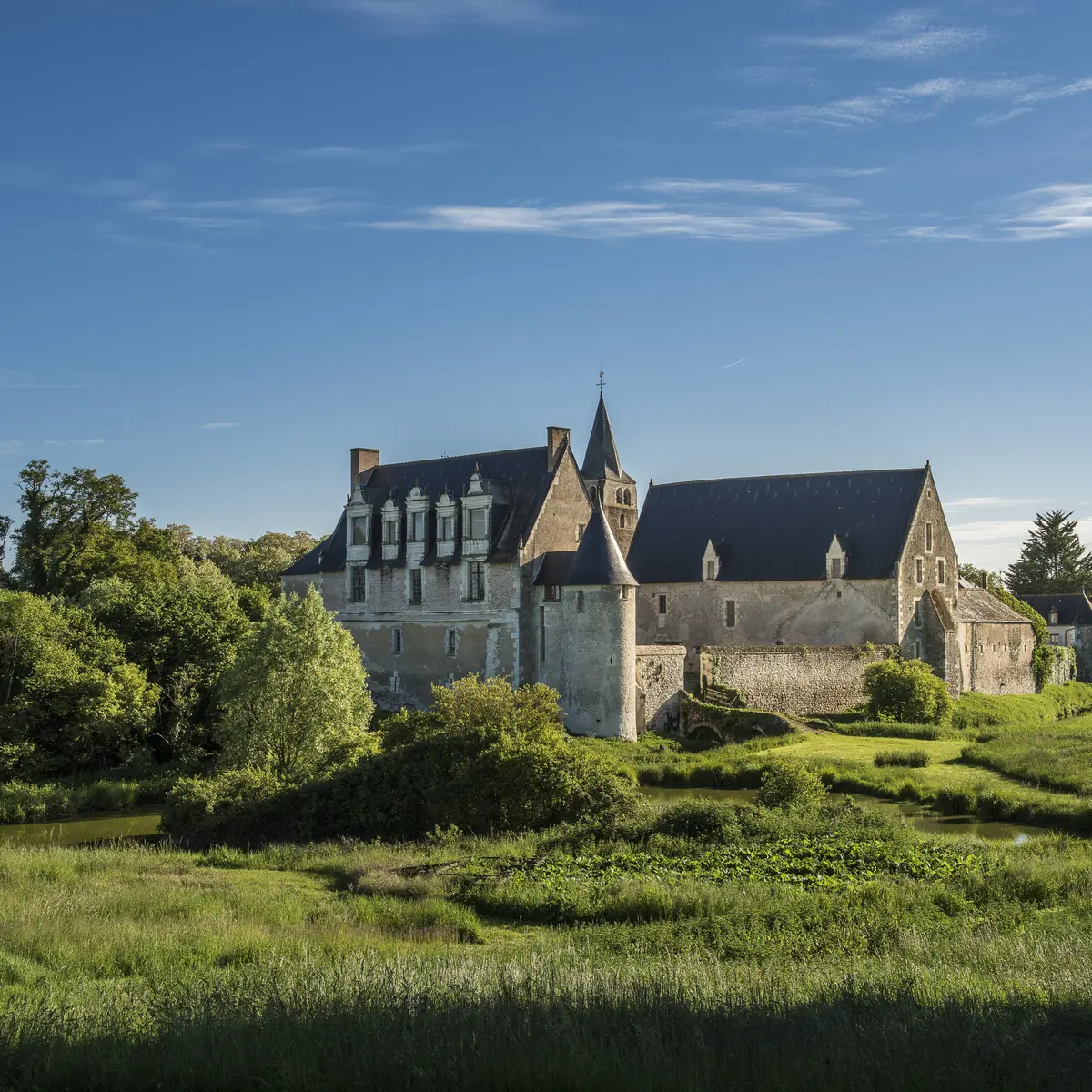
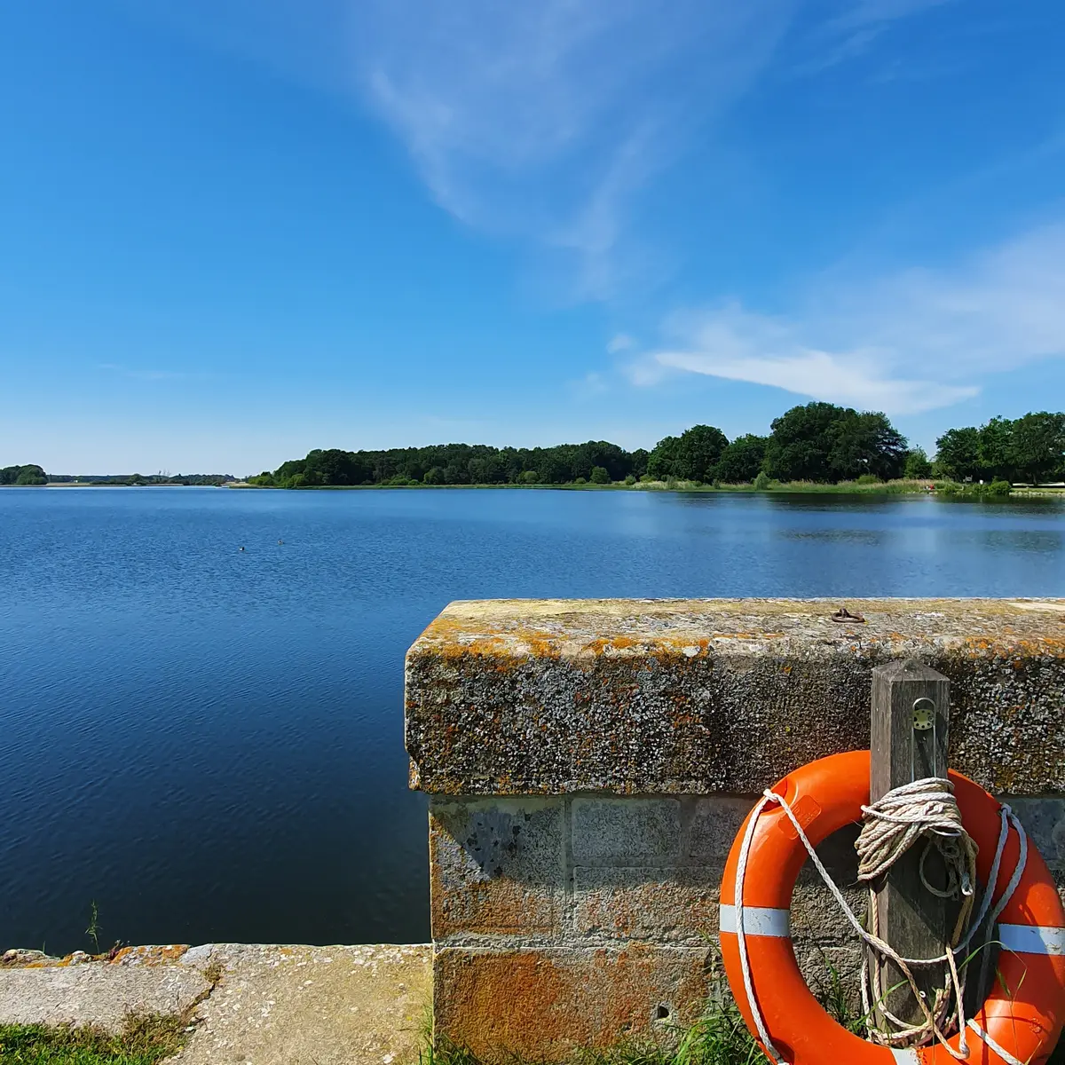
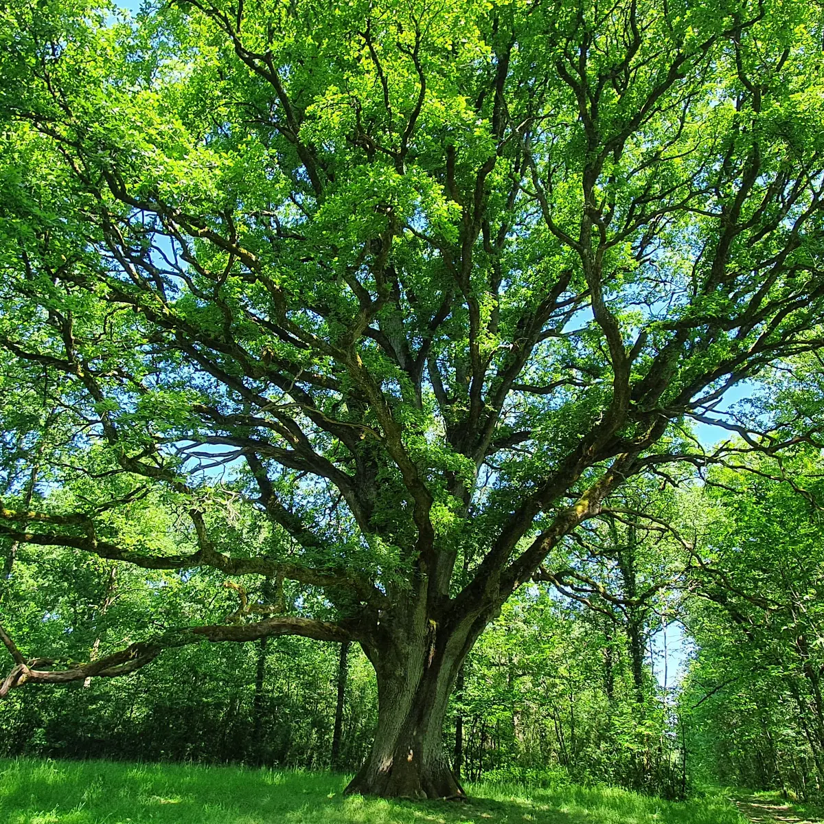
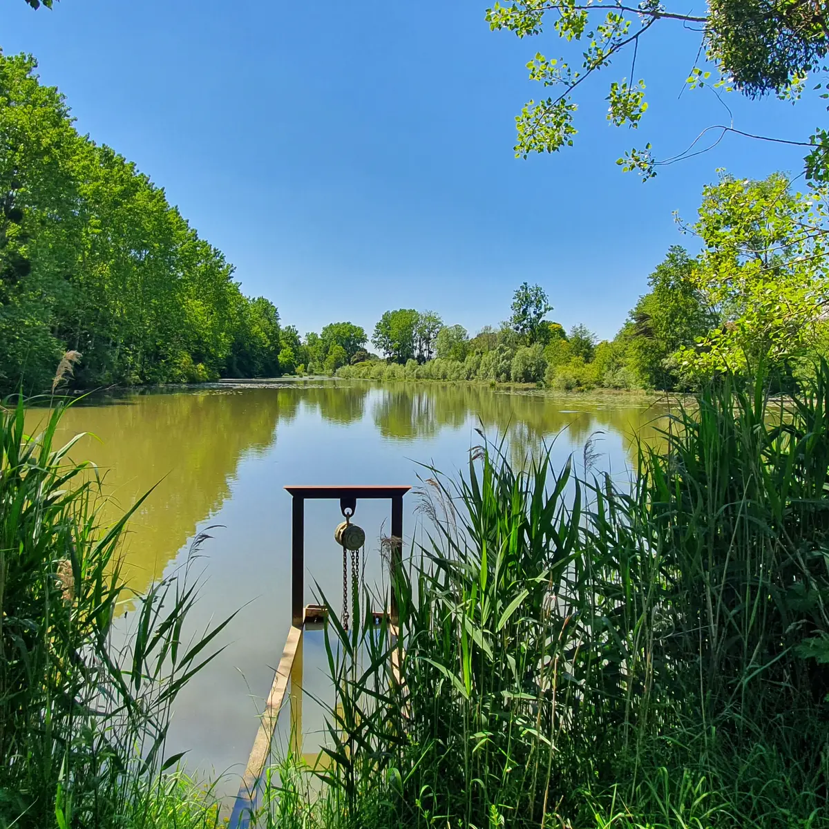
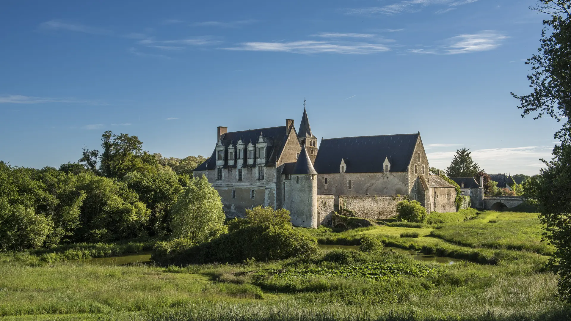
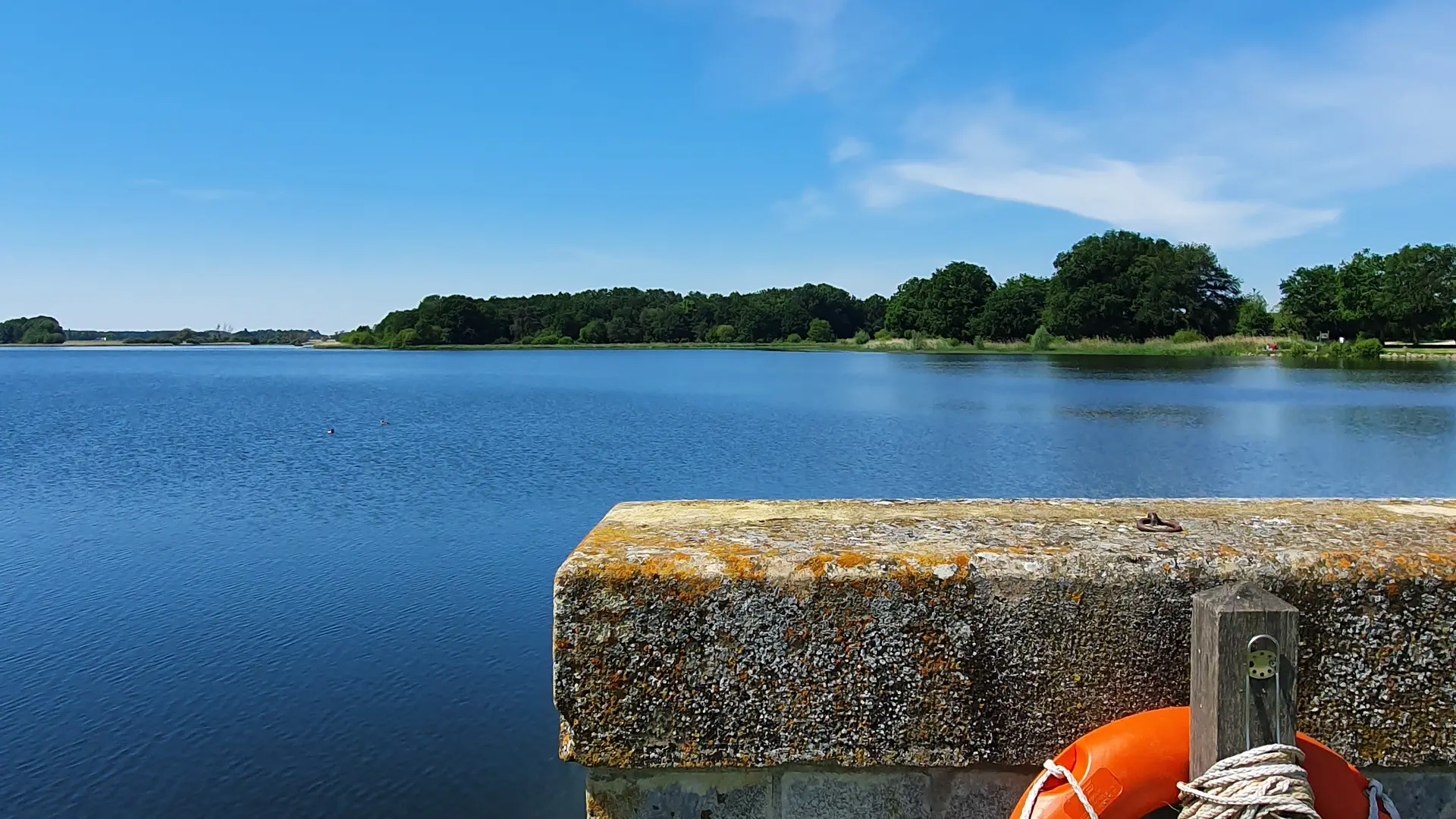
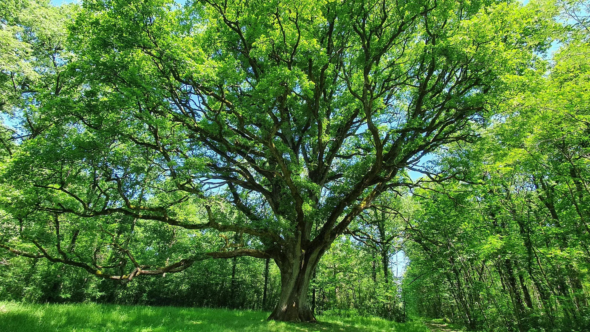
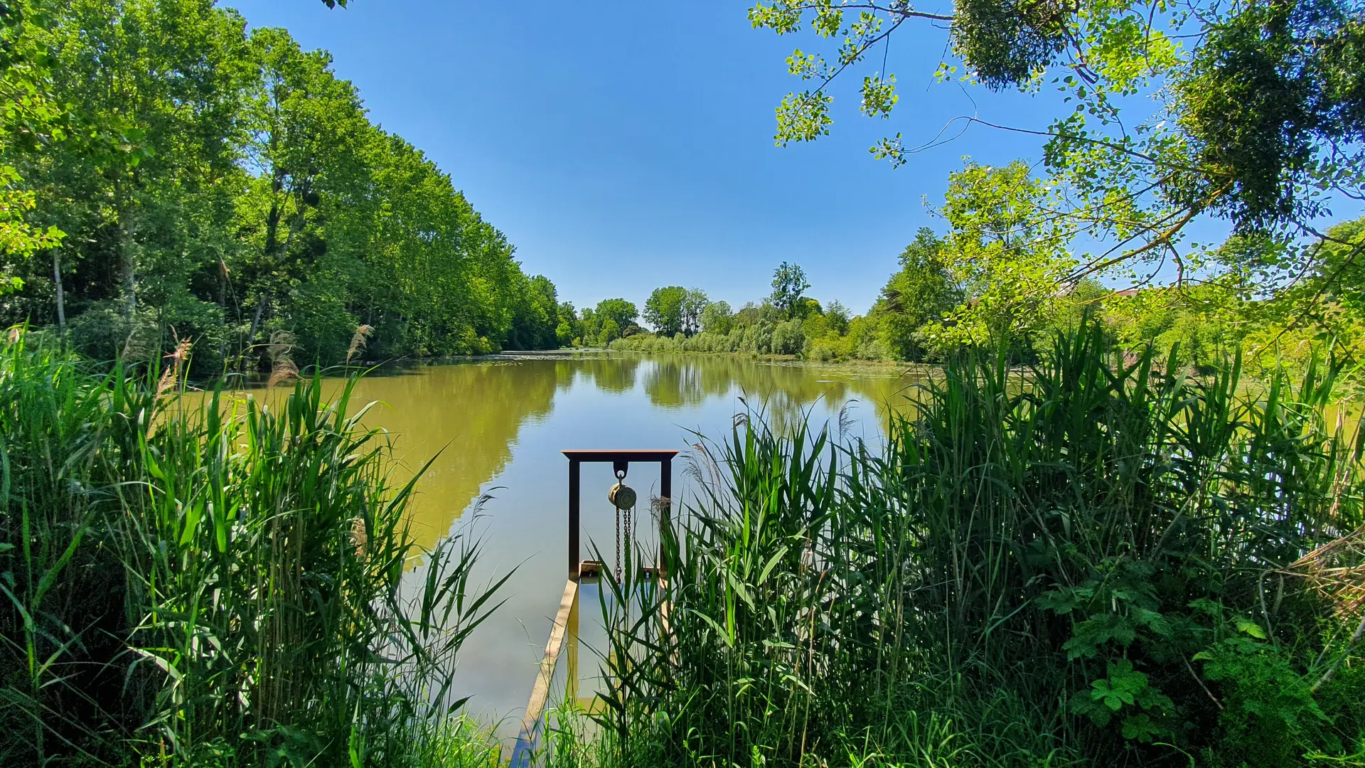
Les étangs du Prieuré
Les étangs du Prieuré
Foot
Etang du Louroux, 37240 Le Louroux
Getting there
×
Open the itinerary in
Google Maps
Apple Plans
Waze
Mappy
Share
Ajouter aux favoris
Add to my favorites
×
Share this sheet
Les étangs du Prieuré
E-mail
WhatsApp
Facebook
X
LinkedIn
Pinterest
©
CC LOCHES SUD TOURAINE / David Darrault
©
CC LOCHES SUD TOURAINE
©
CC LOCHES SUD TOURAINE
©
CC LOCHES SUD TOURAINE
×
©
CC LOCHES SUD TOURAINE / David Darrault
©
CC LOCHES SUD TOURAINE
©
CC LOCHES SUD TOURAINE
©
CC LOCHES SUD TOURAINE
Services
Animals accepted
Documentation
Les étangs du Prieuré
Close
Popular searches
{% label %}
Filter search
Page types
All
Articles
Agenda
Lists
Aucun résultat
/
English
Français
Italiano
Español
Deutsch
Nederlands
Close
×