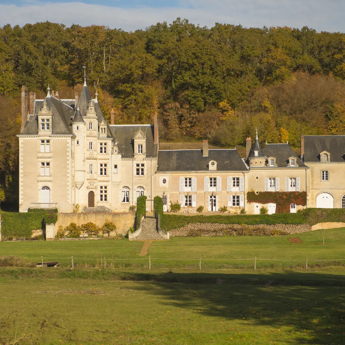
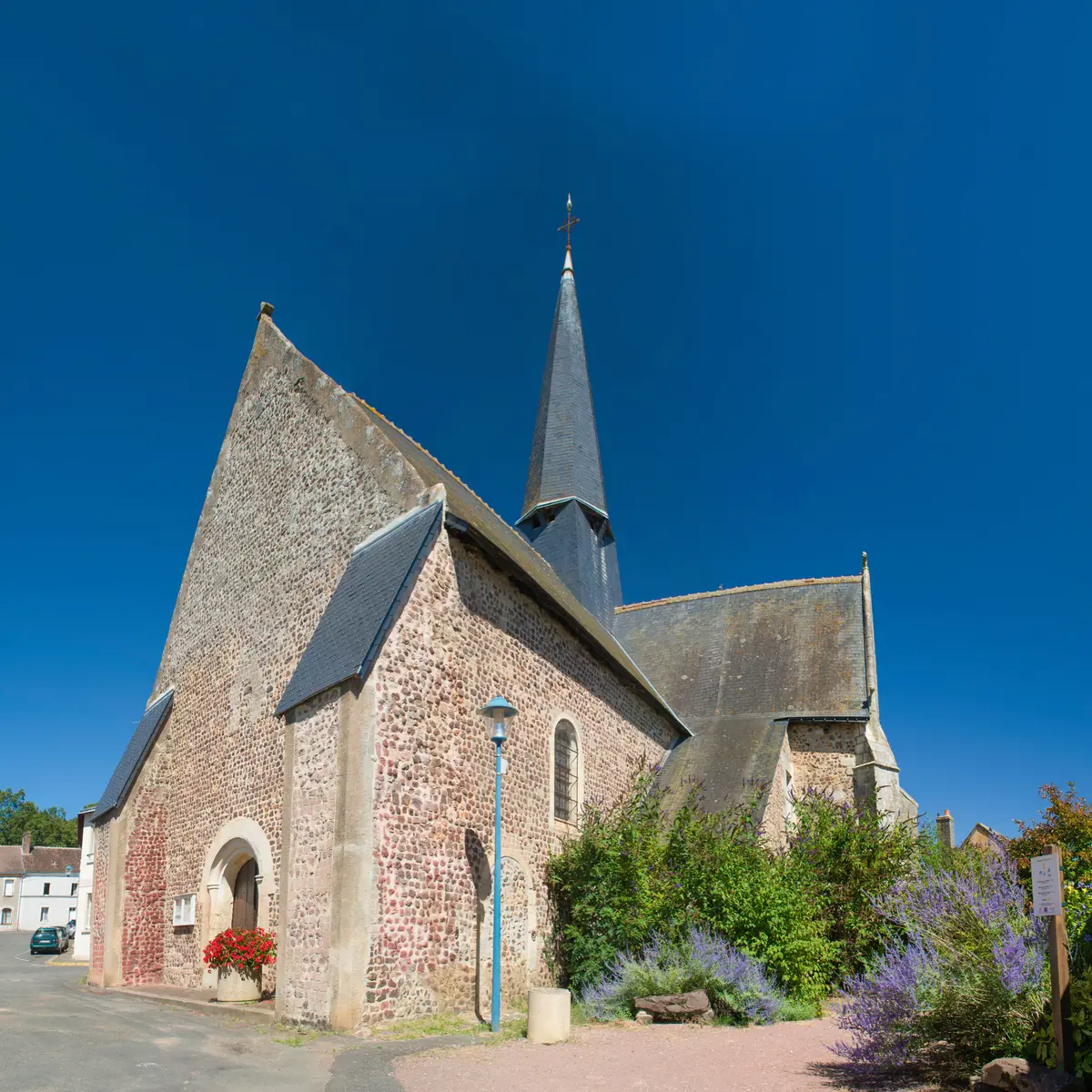
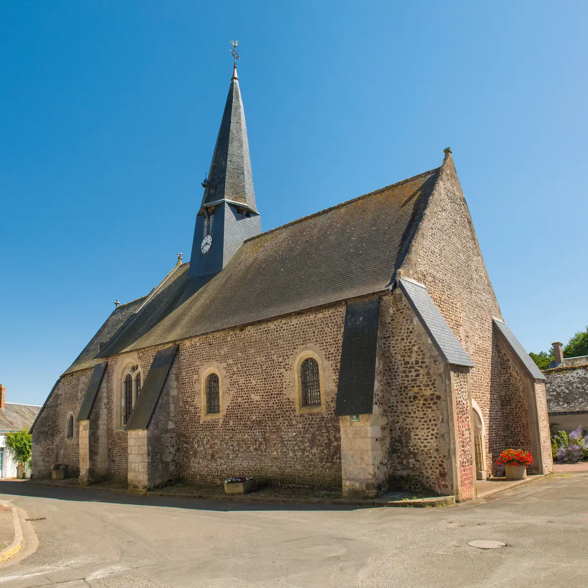
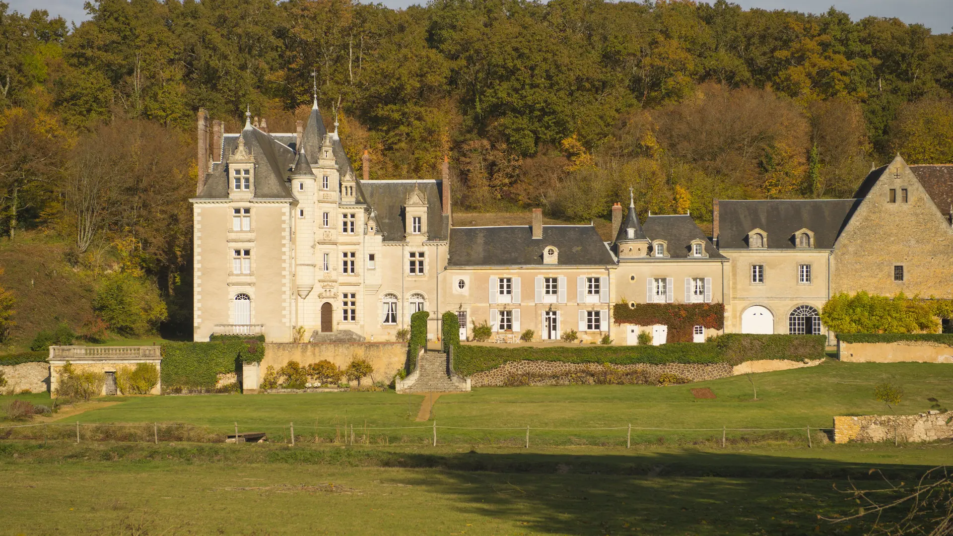
The Les Versants de la Dême trail in Marray is certified by the Fédération Française de Randonnée Pédestre. On this walk, you'll discover the Château de la Roche d'Alès and the parish church. The route is signposted in red and runs in a clockwise direction, starting and finishing at Place de la Pos
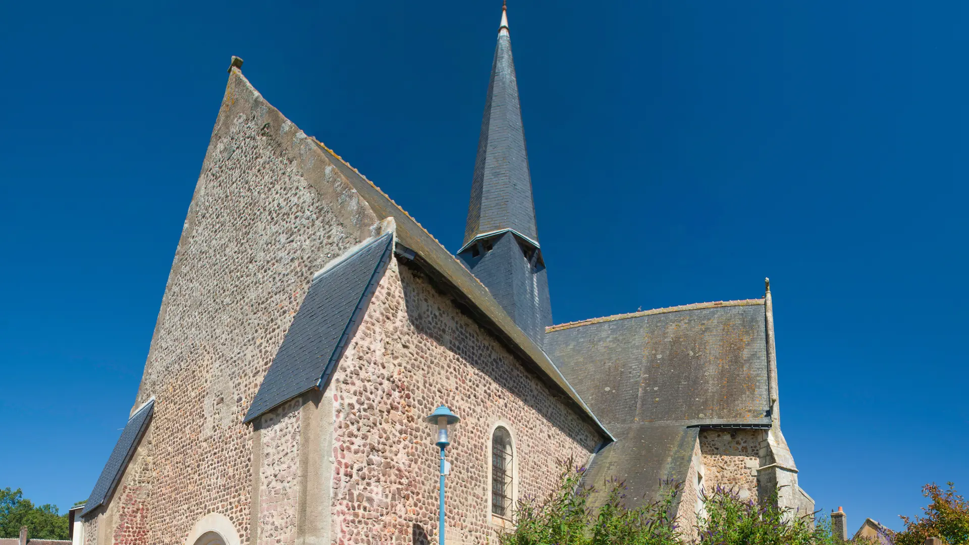
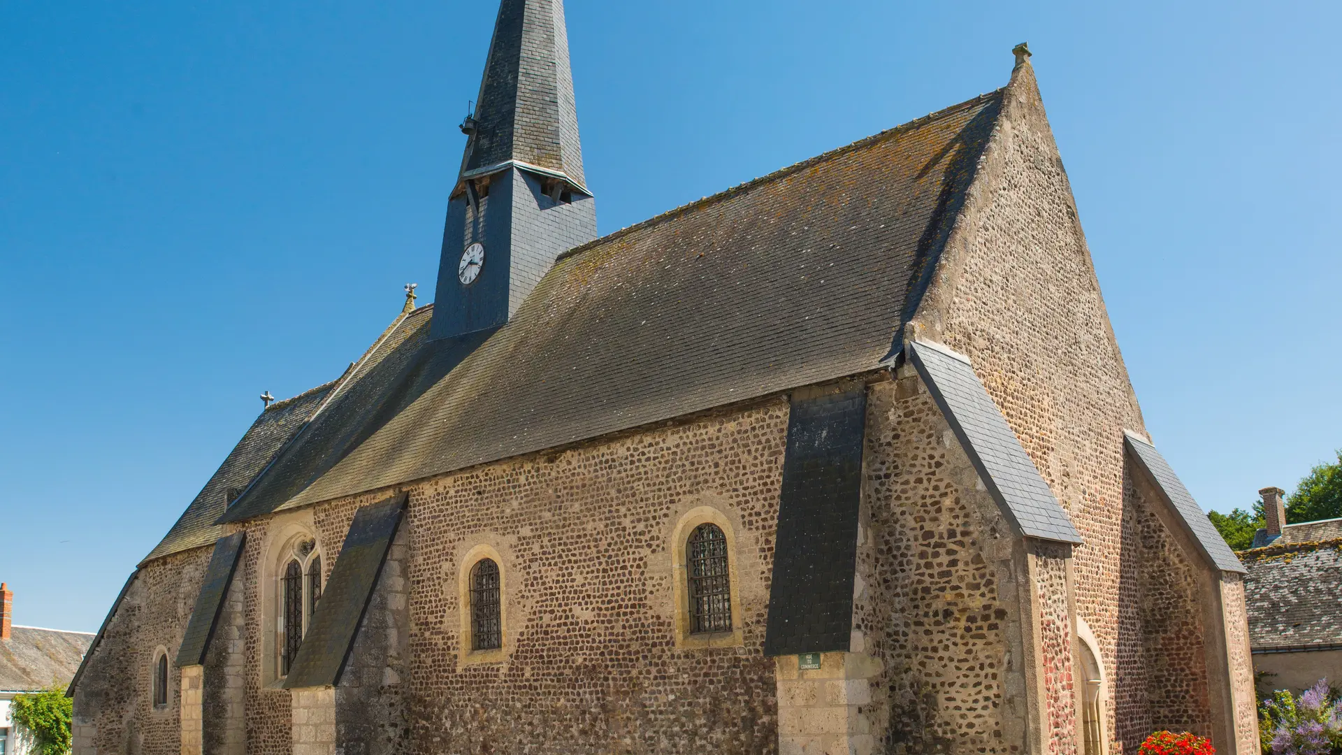
The Les Versants de la Dême trail in Marray is certified by the Fédération Française de Randonnée Pédestre. On this walk, you'll discover the Château de la Roche d'Alès and the parish church. The route is signposted in red and runs in a clockwise direction, starting and finishing at Place de la Poste.
Read more