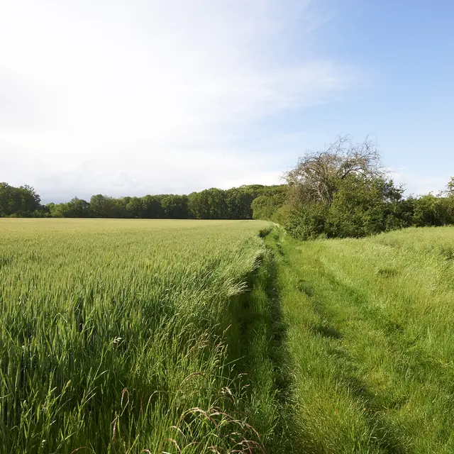
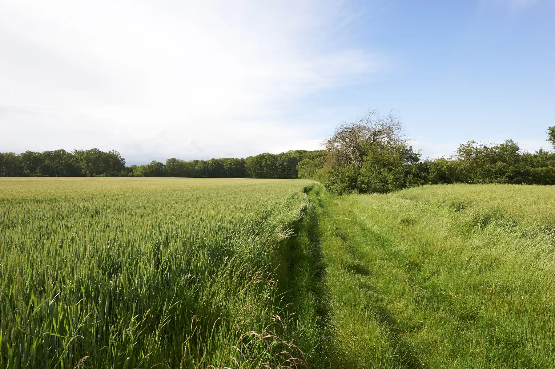
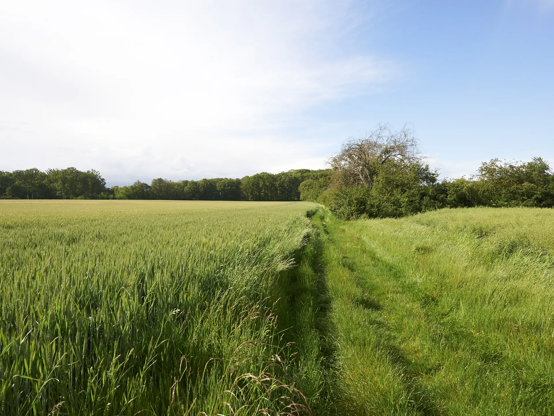
Between plain and woodland, in the Gâtine Tourangelle landscape, discover Autrèche by following the hiking trails. Built heritage, with its grand mansions, and natural heritage, with its game, punctuate the 2 circuits you can take.
Between plain and woodland, in the Gâtine Tourangelle landscape, discover Autrèche by following the hiking trails. Built heritage, with its grand mansions, and natural heritage, with its game, punctuate the 2 circuits you can take.
Read more