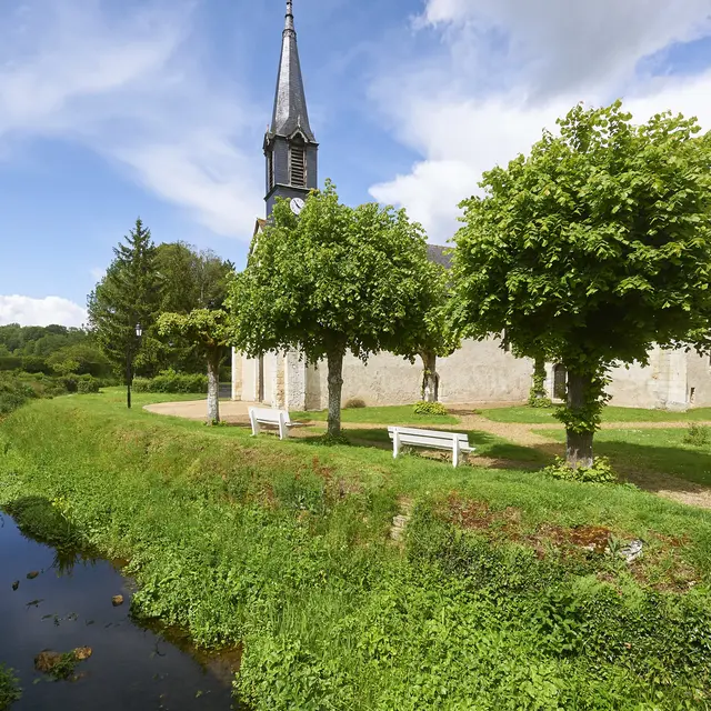
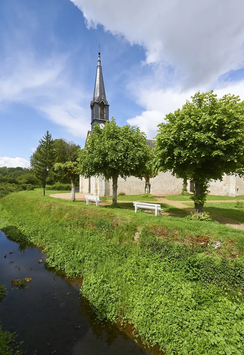
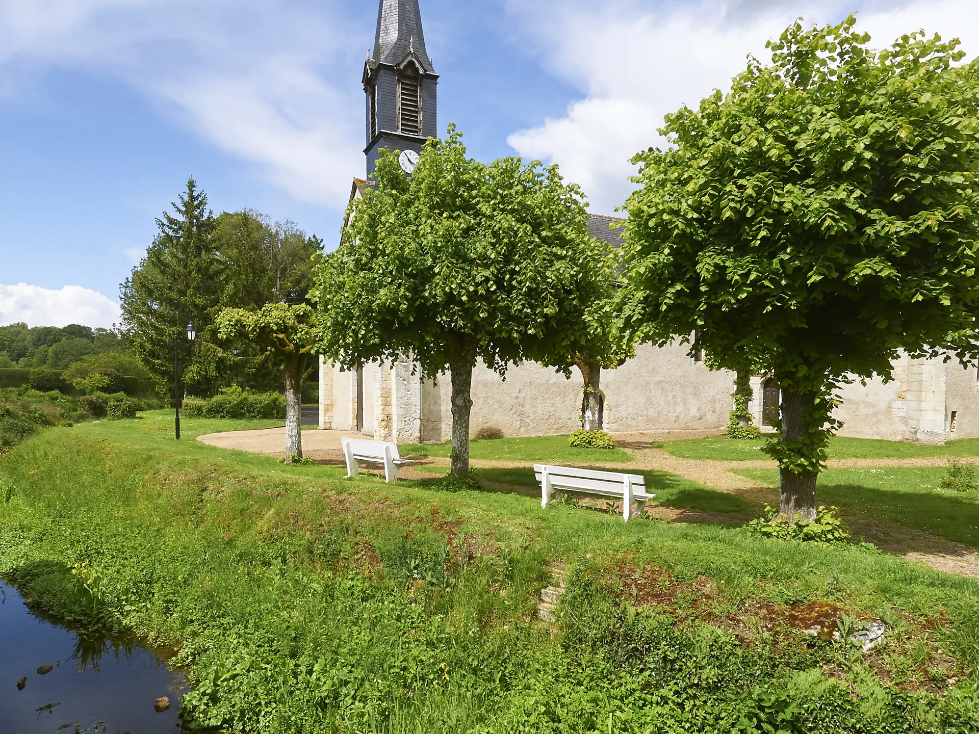
Nestled in the Madelon valley, the village of Crotelles offers a hiking trail to discover the remains of a heritage dating from prehistoric times to the 18th century.
Nestled in the Madelon valley, the village of Crotelles offers a hiking trail to discover the remains of a heritage dating from prehistoric times to the 18th century.
Read more