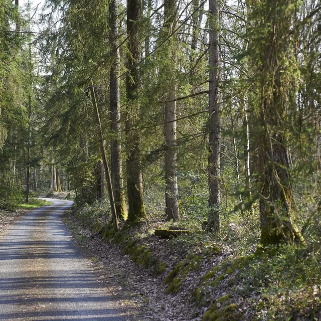
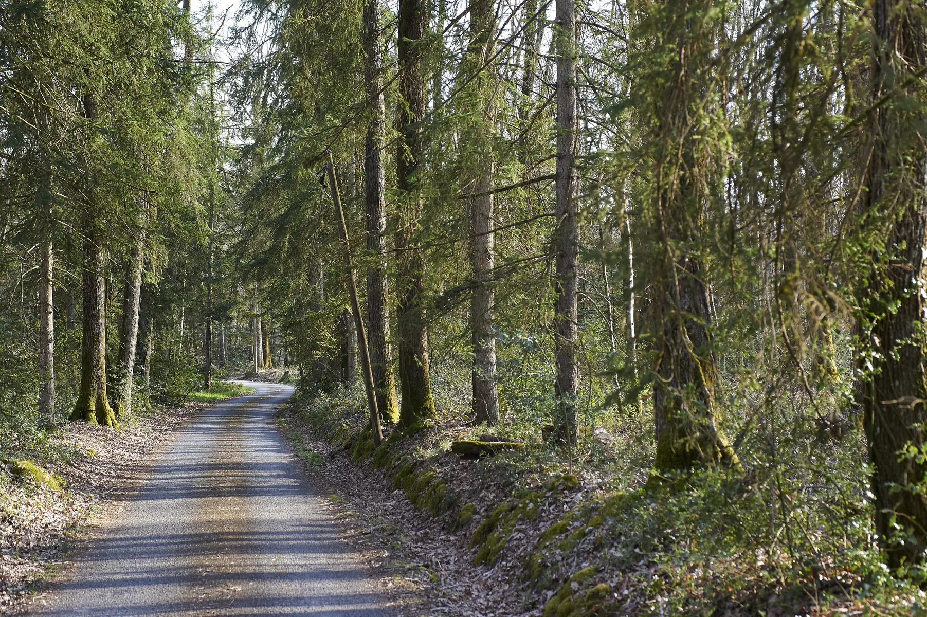
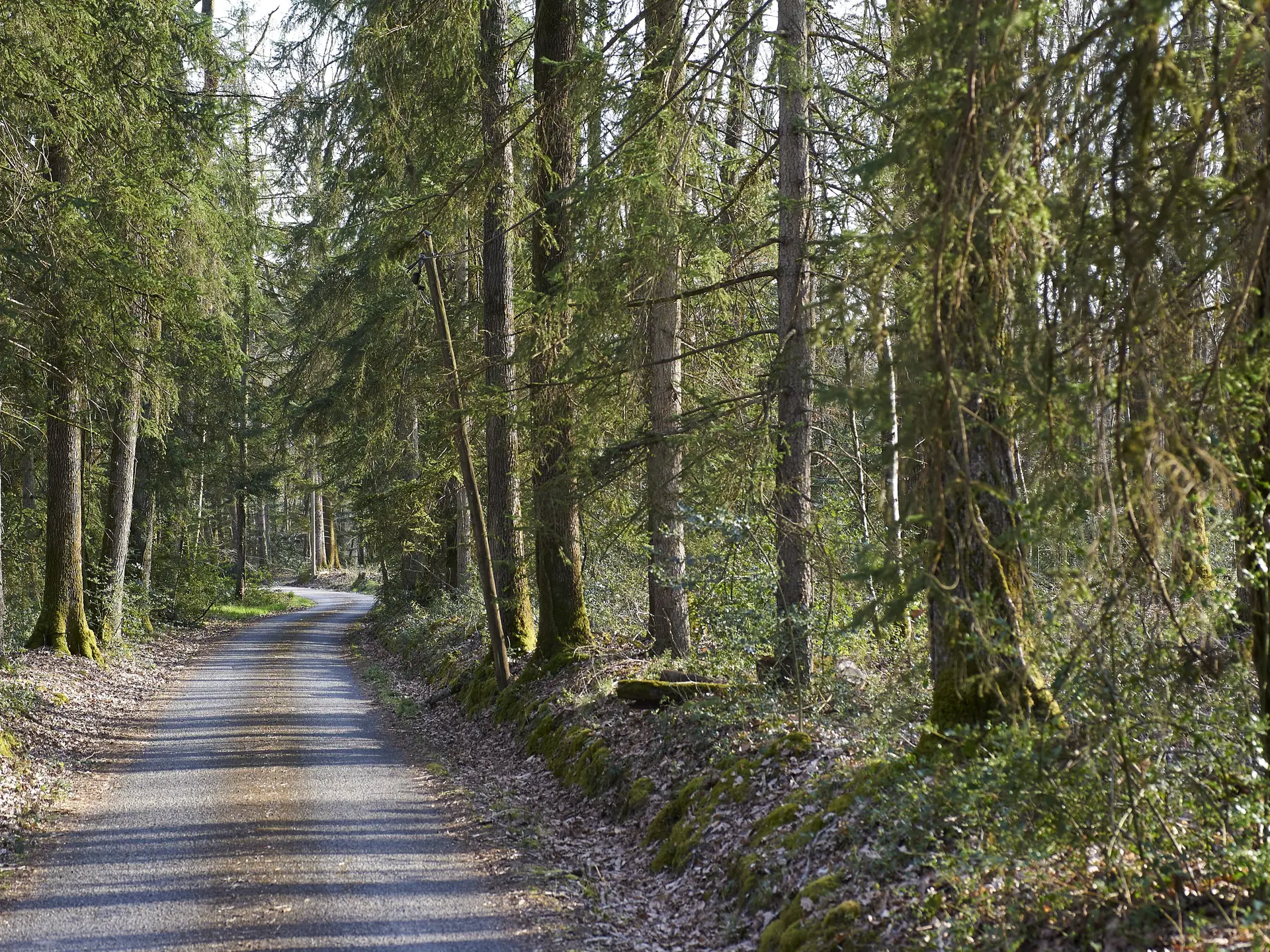
Villedômer lies at the corner of two pretty valleys: the Brenne and the Madelon. It's also a densely wooded commune with a large number of castles and mills, which you can visit on one of the three footpaths on offer.
Villedômer lies at the corner of two pretty valleys: the Brenne and the Madelon. It's also a densely wooded commune with a large number of castles and mills, which you can visit on one of the three footpaths on offer.
Read more