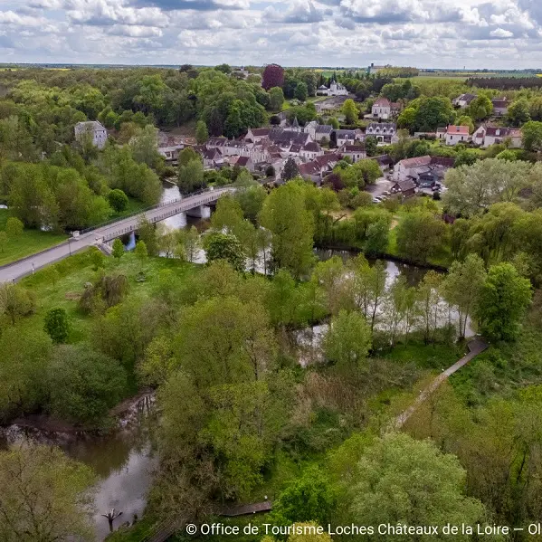
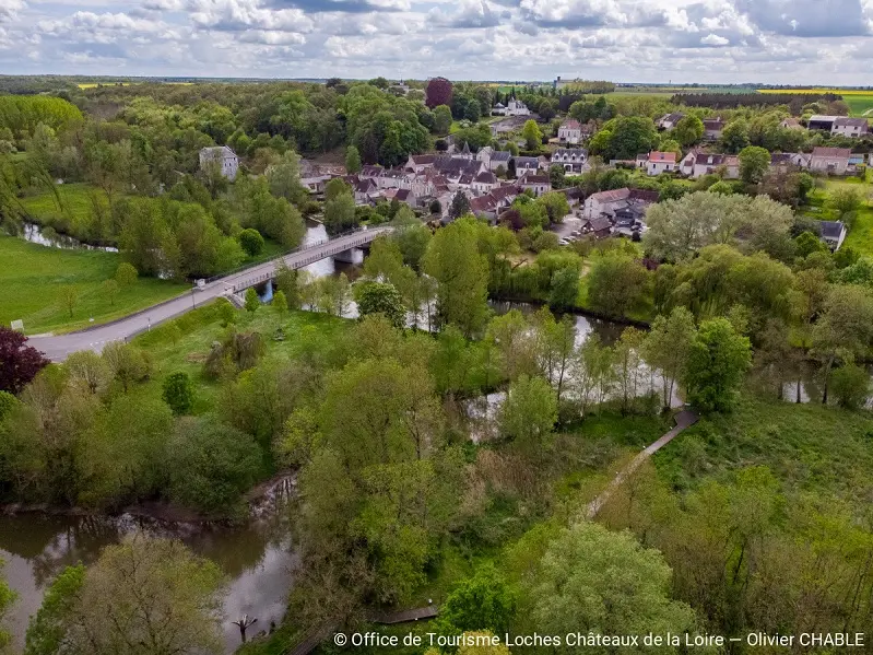
This walk will surprise you with its wealth of scenery and heritage, between valley and plateau. The walk starts from Chambourg or Azay-sur-Indre, marked in red on the map as numbers 1 and 5.
This walk will surprise you with its wealth of scenery and heritage, between valley and plateau. The walk starts from Chambourg or Azay-sur-Indre, marked in red on the map as numbers 1 and 5.
Read more