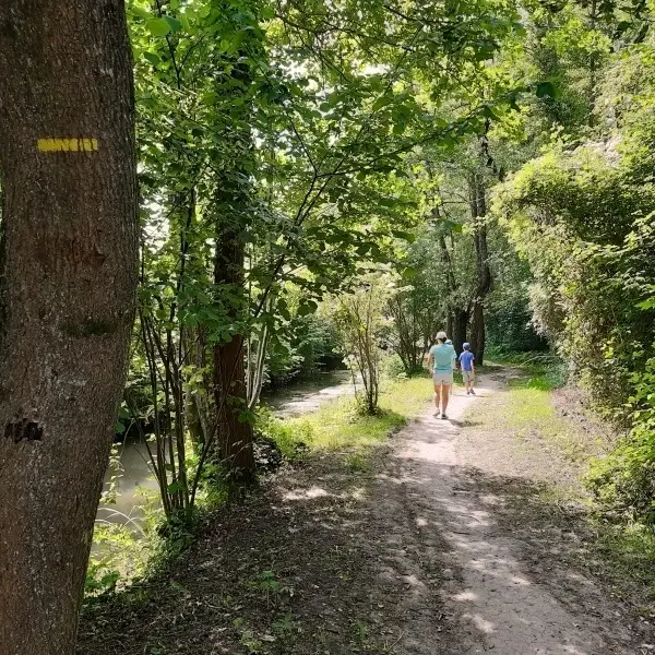
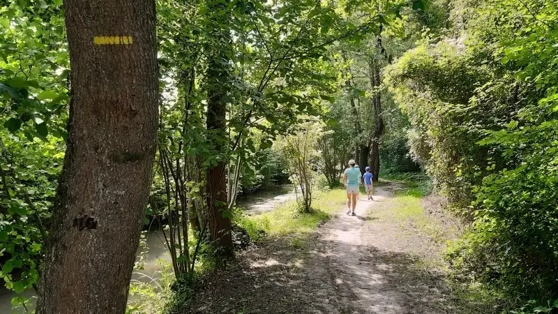
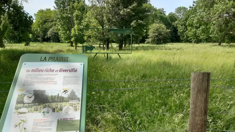
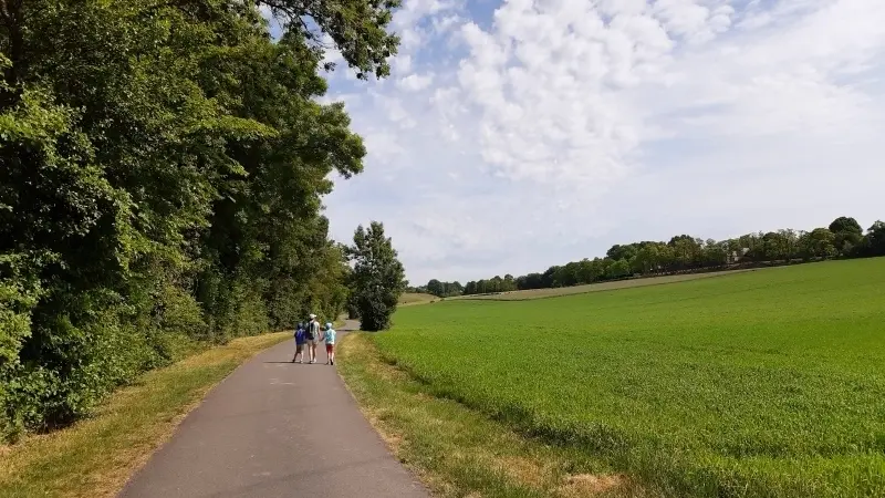
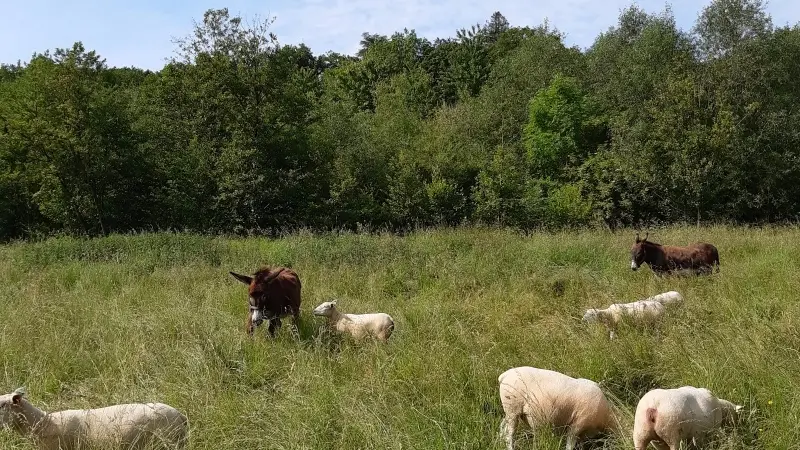
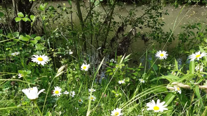
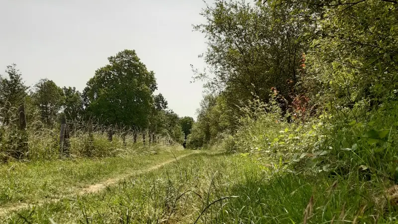
This natural area nestled in the heart of the Touraine region is packed with amazing biodiversity that you can experience on 2 footpaths. Outside Tours amid the meadows, marshes and forest, be sure to stop on your way in front of the fun-filled educational fixtures along the path.
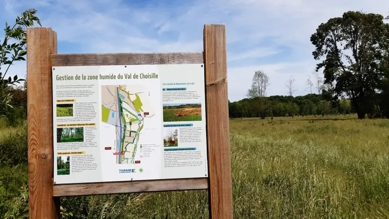
This natural area nestled in the heart of the Touraine region is packed with amazing biodiversity that you can experience on 2 footpaths. Outside Tours amid the meadows, marshes and forest, be sure to stop on your way in front of the fun-filled educational fixtures along the path (orange dots on the map).
There are five entrances to this site but we recommend you use this path from the Charcenay welcome area in the heart of the site.
Read more