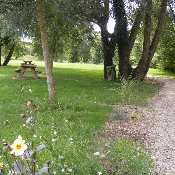
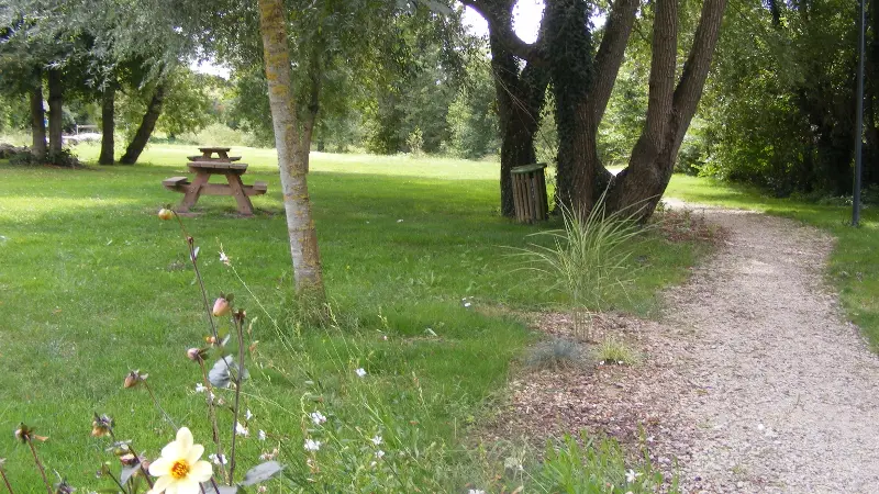
In the heart of the Vouvray vineyards, two trails let you discover the heritage and vineyards of the village of Chançay and its 4 valleys. The Sentier de la Tourette is a 10 km trail, marked in red. Starts from the "Mail du 8 mai" parking lot.
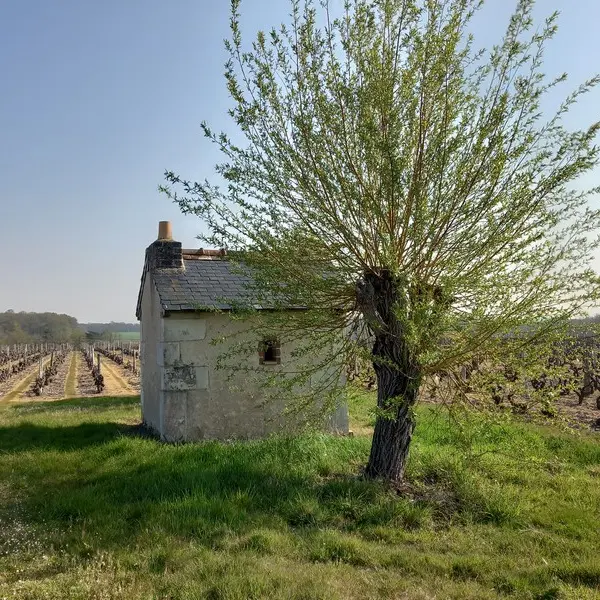
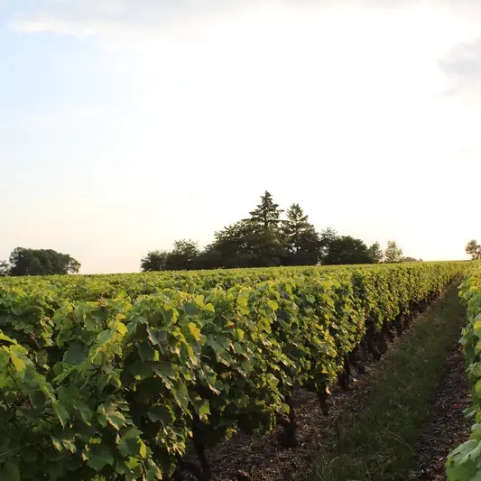
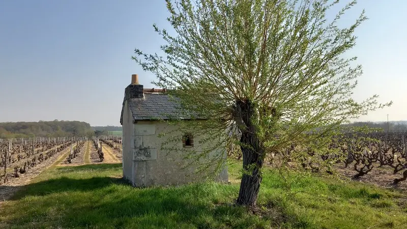
In the heart of the Vouvray appellation, close to the prestigious Châteaux de la Loire, Chançay is a charming village set in the peaceful Brenne valley, where the river bearing its name flows. Explore the Sentier de la Tourette, a hillside terroir that benefits from the microclimates of the Loire and Brenne valleys. (a tributary of the Loire). La Tourette is said to have been built around 1848 by the Republican municipality to keep an eye on the surrounding châteaux. The site is one of the highest points in the commune (115 m), with views over the eastern slopes of the Brenne valley and Valmer castle.
Read more