Villandry is famous for its château and formal gardens, but this walking trail also takes in many of the sights close to the village and the river (menhir, etc.).
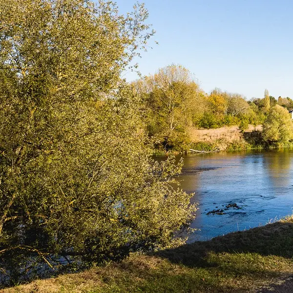
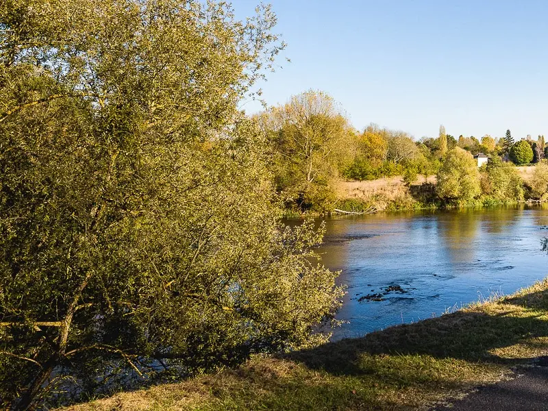
Hikers can follow the dykes built along the Cher to protect against flooding. Don't hesitate to go as far as the confluence of the...
Villandry is famous for its château and formal gardens, but this walking trail also takes in many of the sights close to the village and the river (menhir, etc.).
Hikers can follow the dykes built along the Cher to protect against flooding. Don't hesitate to go as far as the confluence of the Loire and Cher rivers (the Bec du Cher) for a picnic break and a beautiful panoramic view.
For details of the trail and its stages, please download the PDF.
Read more