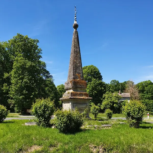
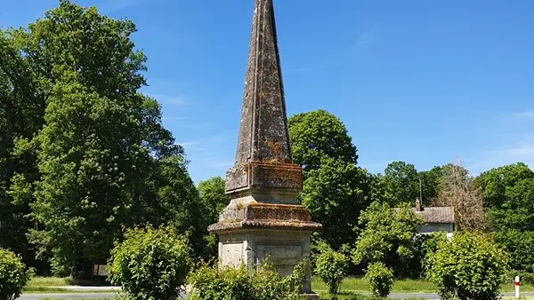
After a short tour of the village of Ferrière-sur-Beaulieu, with its former priory, you're off on an almost exclusively forest-based excursion. And what a forest it is!
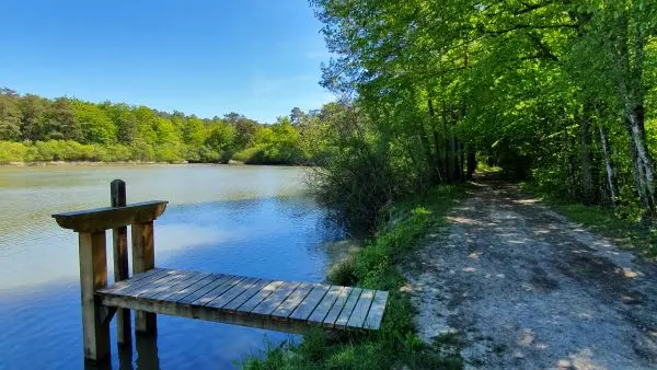
After a short tour of the village of Ferrière-sur-Beaulieu, with its former priory, you're off on an almost exclusively forest-based excursion. And what a forest it is! The Forêt domaniale de Loches, a former royal forest and favorite playground of the kings of France who visited Loches. Whether on the long 19th-century avenues or the narrow lanes, you'll discover hidden sites in the middle of the woods, including the Ferrière ponds.
Read more