See photos (4)

Voie Verte du Sud Touraine

Tourist on bicycle, Foot, Mountain bike in Descartes
41.3 km
Tourist on bicycle
5h
Very easy
41.3 km
Foot
5h
Very easy
41.3 km
Mountain bike
5h
Very easy
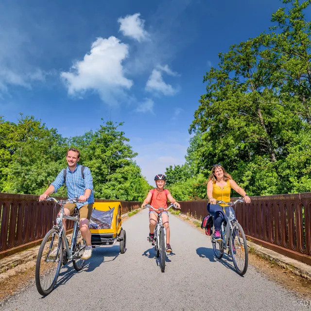
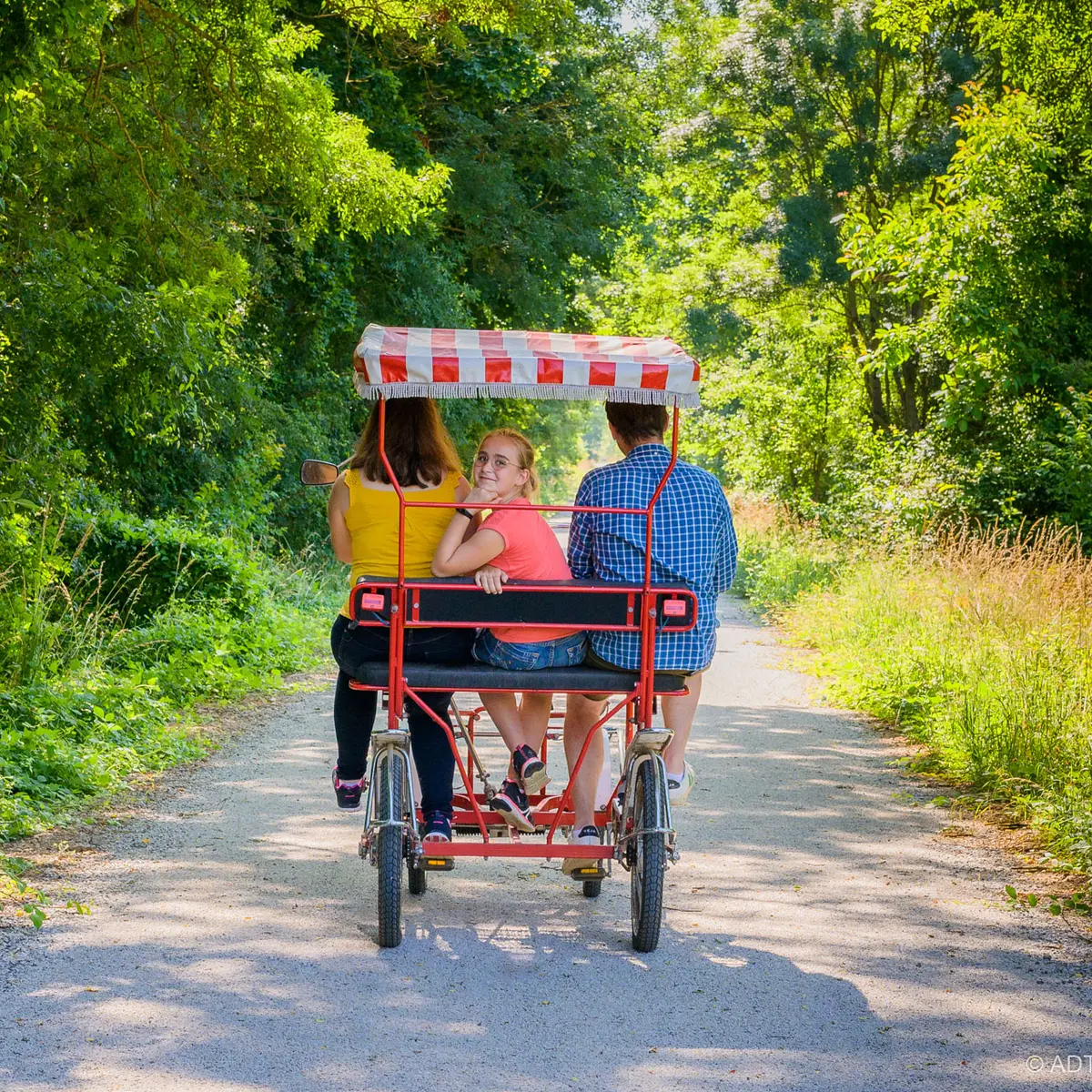
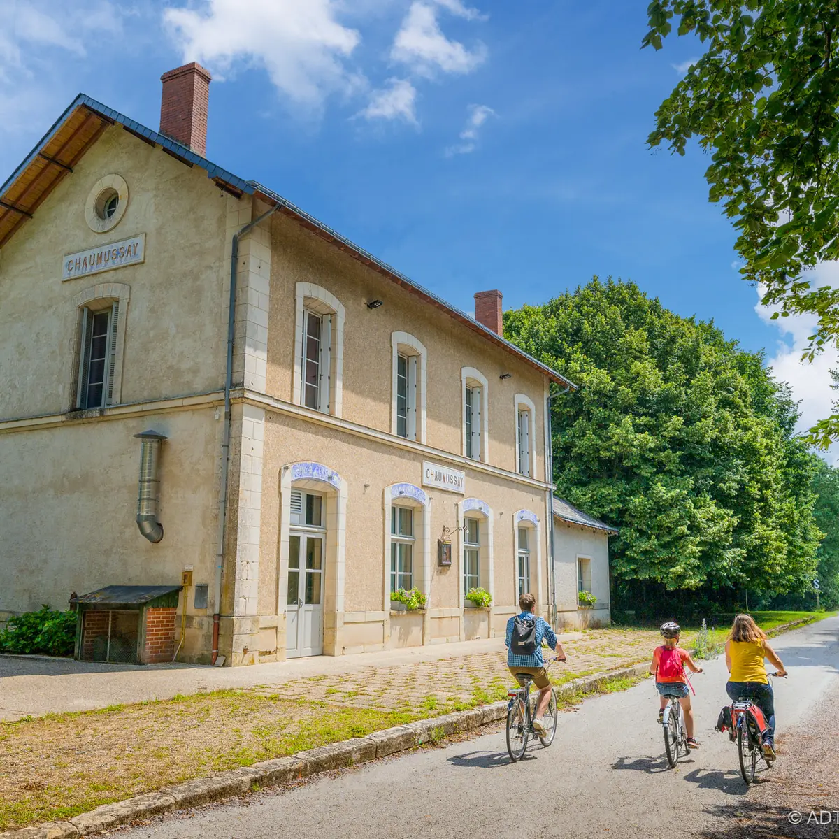
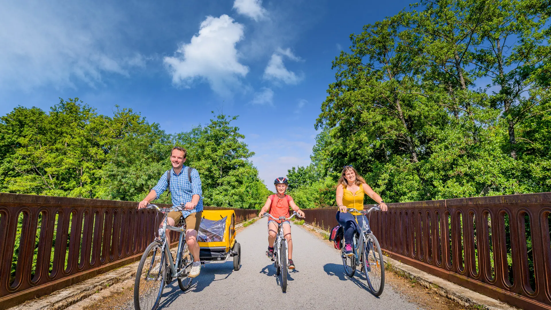
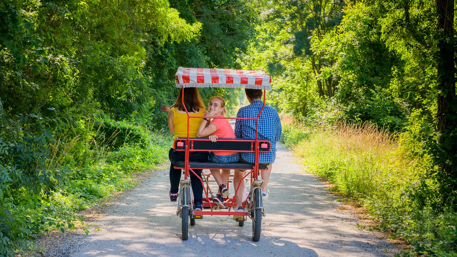
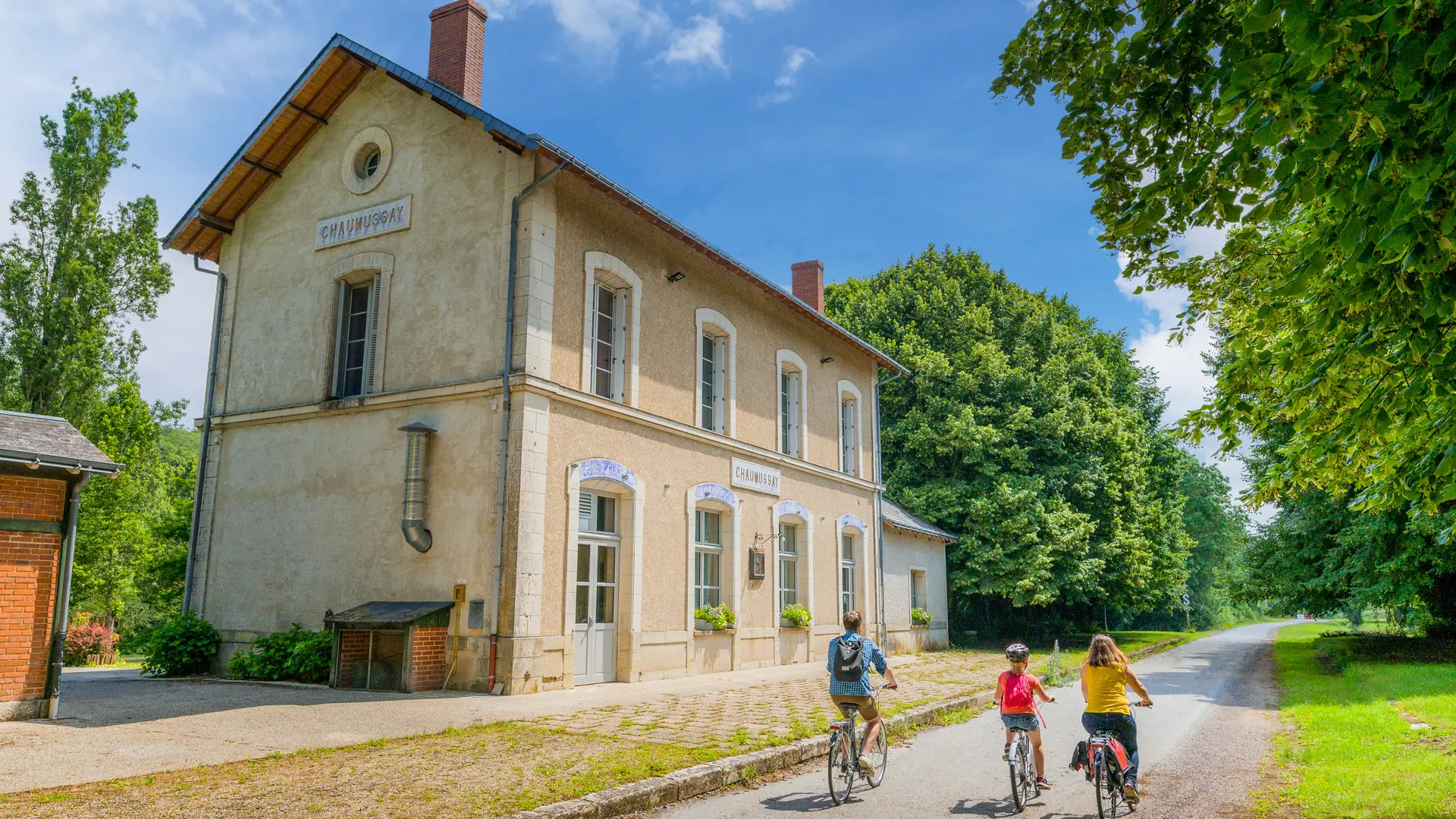
  • The Voie Verte is an itinerary dedicated to hikers and cyclists, in the heart of the valleys of the Creuse and the Claise. Crossing 8 villages of character, it allows the discovery of the heritage of South Touraine. Signposted links connect it to La Celle-St-Avant, Loches and Tournon.

  • Tourist accommodation, bike hire, shops, castles and museums, everything is accessible along the greenway!
222 meters of difference in height
  • Maximum altitude : 117 m
  • Minimum altitude : 48 m
  • Total positive elevation : 222 m
  • Total negative elevation : -191 m
  • Max positive elevation : 24 m
  • Min positive elevation : -33 m
Close
Filter search
Page types
  • All
  • Articles
  • Agenda
  • Lists
Aucun résultat