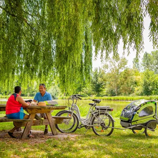
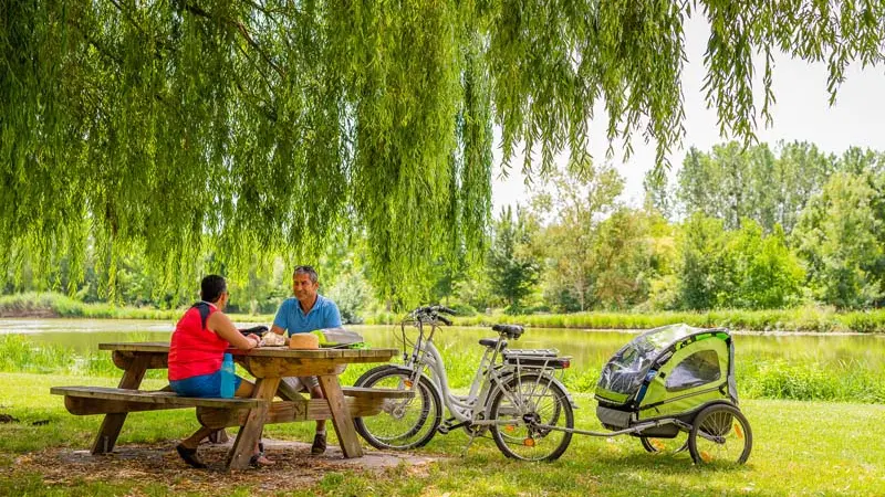
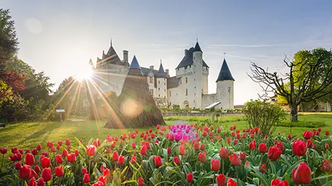
From the Château du Rivau, this itinerary takes you through the countryside of Richelieu along the Richelieu-Chinon greenway to the Sensitive Natural Area of the Assay pond.
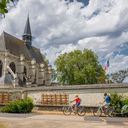
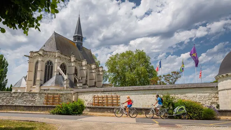
From the Château du Rivau, this itinerary takes you through the countryside of Richelieu along the Richelieu-Chinon greenway to the Sensitive Natural Area of the Assay pond. The next stage is Champigny-sur-Veude, which is home to a Sainte Chapelle with magnificent stained glass windows.
Read more