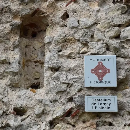
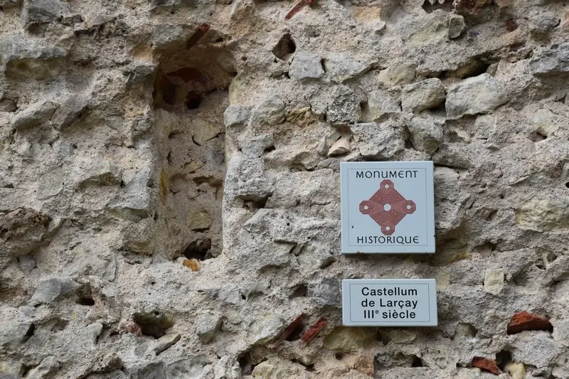
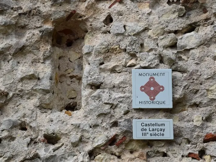
A stroll through the history and life of the commune... We invite you to discover Larçay, a commune close to Tours, whose northern part is crossed by the Cher.
A stroll through the history and life of the commune... We invite you to discover Larçay, a commune close to Tours, whose northern part is crossed by the Cher.