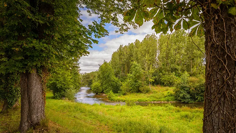
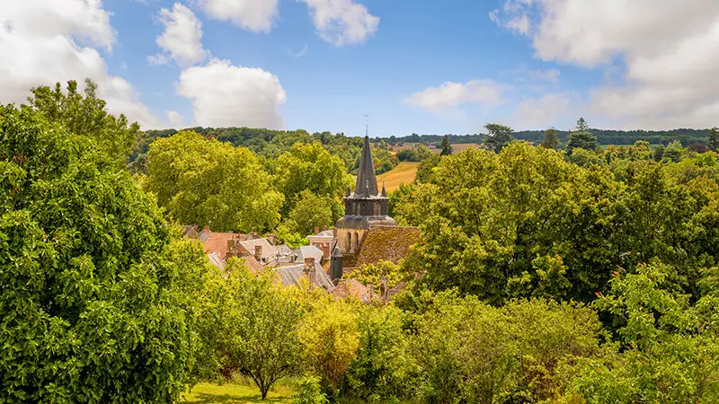
This loop takes in part of the southern Touraine greenway, in the Claise valley, and then takes a detour to the edge of Touraine, on the banks of another river, the Creuse.
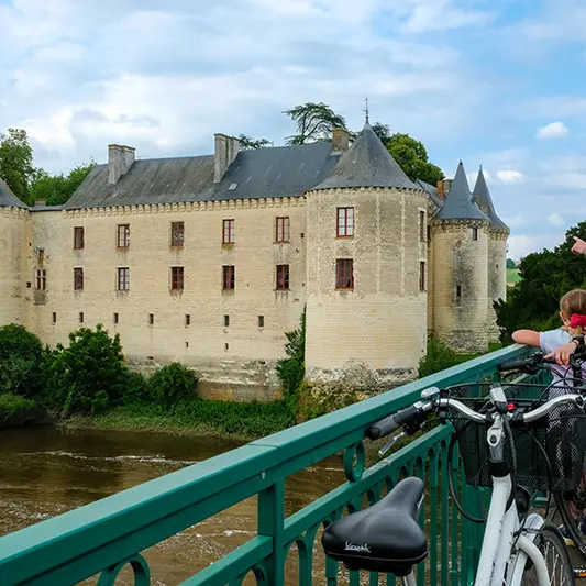
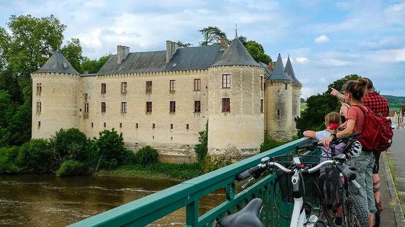
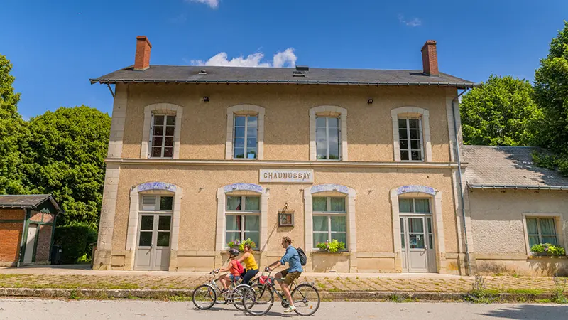
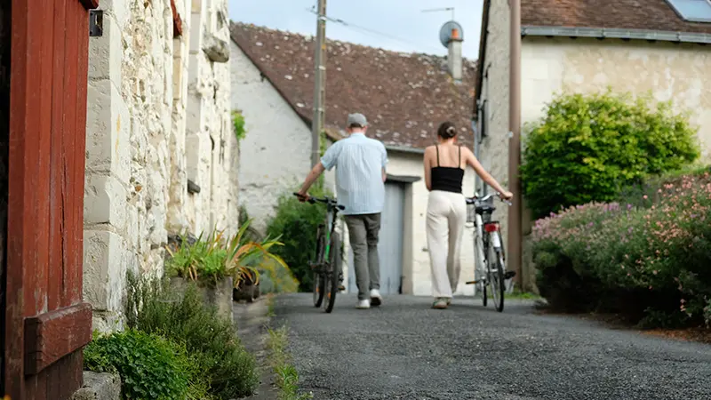
The South Touraine greenway winds through the Claise valley, offering a route reserved for bikes and pedestrians. This loop offers you the chance to discover part of it, and to digress for a moment to the edge of Touraine, on the banks of another river, the Creuse. On the program: castles, picturesque villages, lush greenery and heritage sights. This is the perfect opportunity to discover the village of La Guerche, the last stronghold before Poitou, whose castle is bathed by the river and whose narrow streets still retain the character of the Middle Ages.