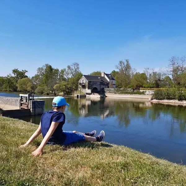
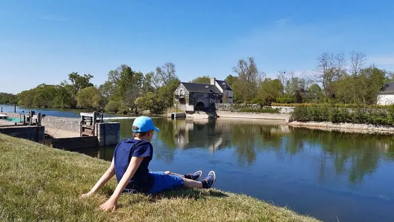
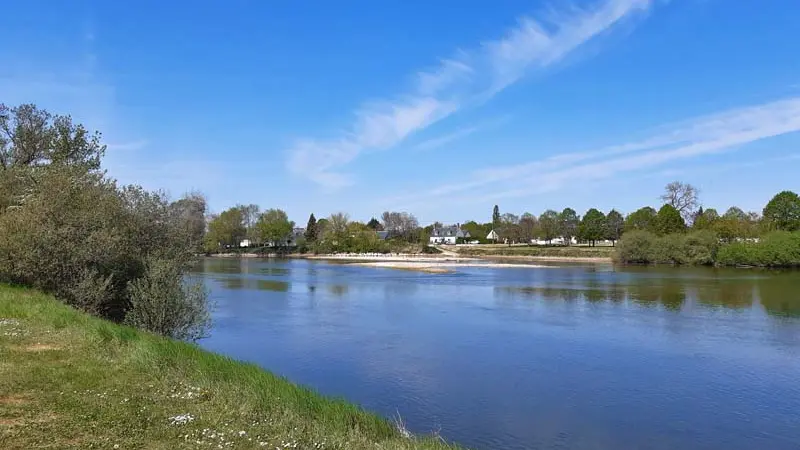
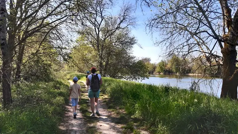
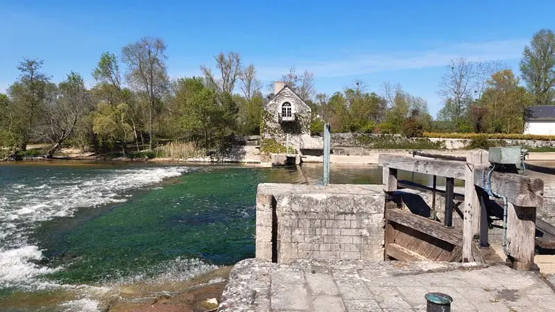
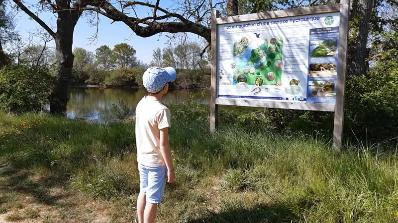
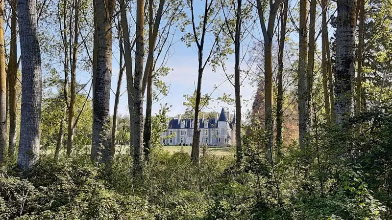
Between the left and the right banks of the river, this rumble runs alongside the river Cher, offering the chance to discover an exceptional natural and historic environment boasting a mill, ports, a dam and castles.
Between the left and the right banks of the river, this rumble runs alongside the river Cher, offering the chance to discover an exceptional natural and historic environment boasting a mill, ports, a dam and castles.
Read more