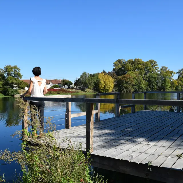
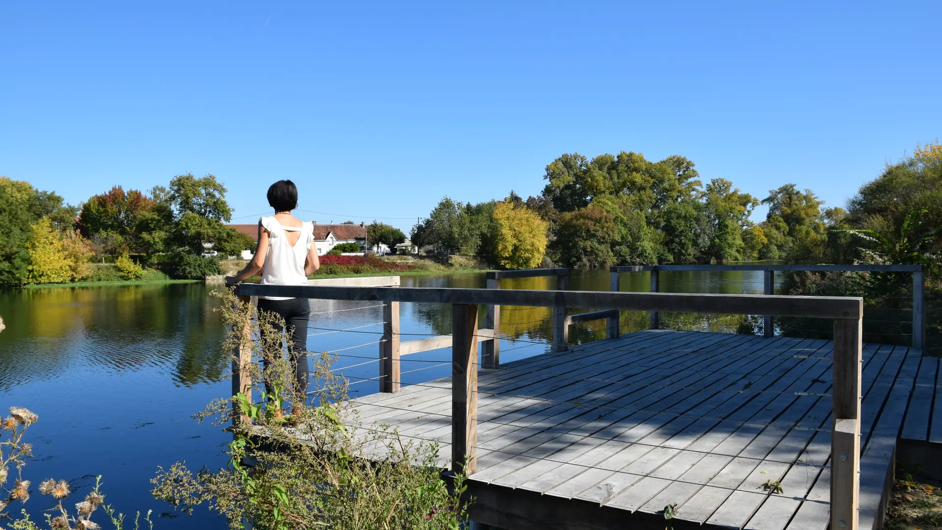
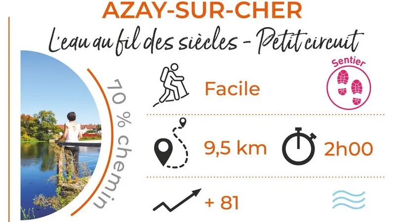
The walking trail "Water over the centuries in the Cher Valley" invites you to discover the riches of Azay-sur-Cher through its heritage and its landscapes.
The walking trail "Water over the centuries in the Cher Valley" invites you to discover the riches of Azay-sur-Cher through its heritage and its landscapes.