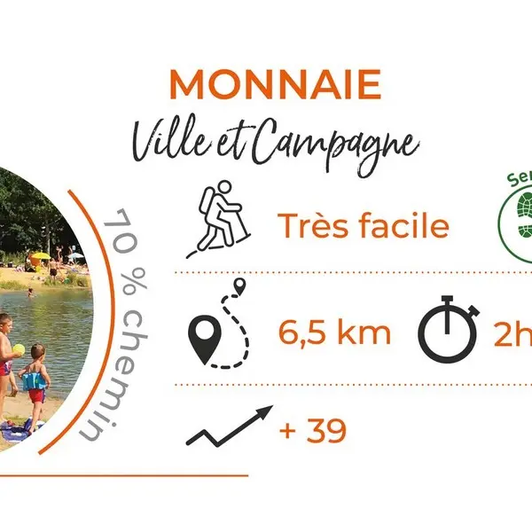
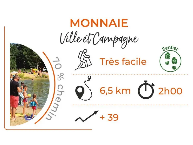
Between town and country, discover the commune of Monnaie. Geographically, it belongs to what used to be called the Gâtine Tourangelle, a vast region that extends north of Tours.
Between town and country, discover the commune of Monnaie. Geographically, it belongs to what used to be called the Gâtine Tourangelle, a vast region that extends north of Tours.