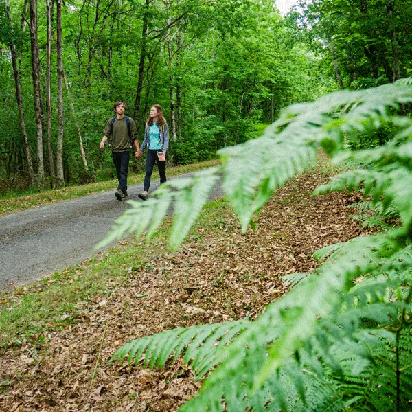
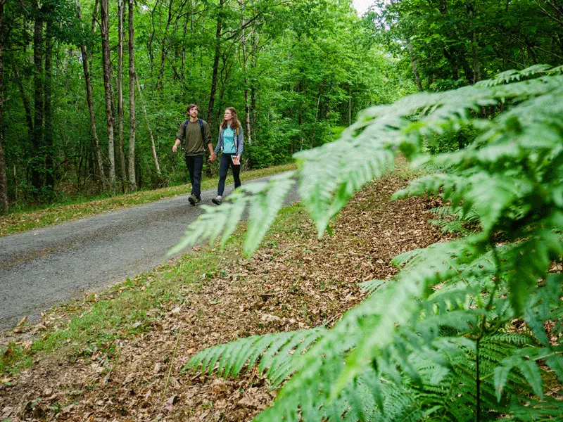
Continvoir's heritage is above all ecological: a land of wooded valleys, moors, hollow and twisted trees (trognes), habitats for small mammals, long forest avenues and biologically rich ponds. Continvoir is one of the most densely wooded communes in the département.
Continvoir's heritage is above all ecological: a land of wooded valleys, moors, hollow and twisted trees (trognes), habitats for small mammals, long forest avenues and biologically rich ponds. Continvoir is one of the most densely wooded communes in the département.
Read more