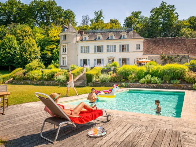
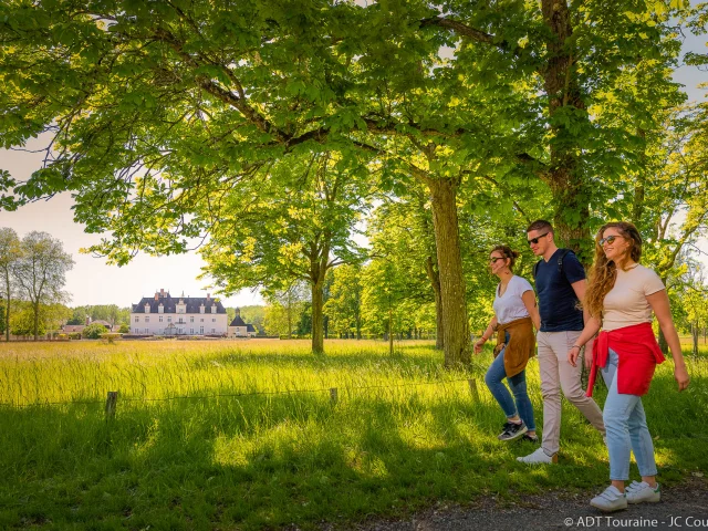
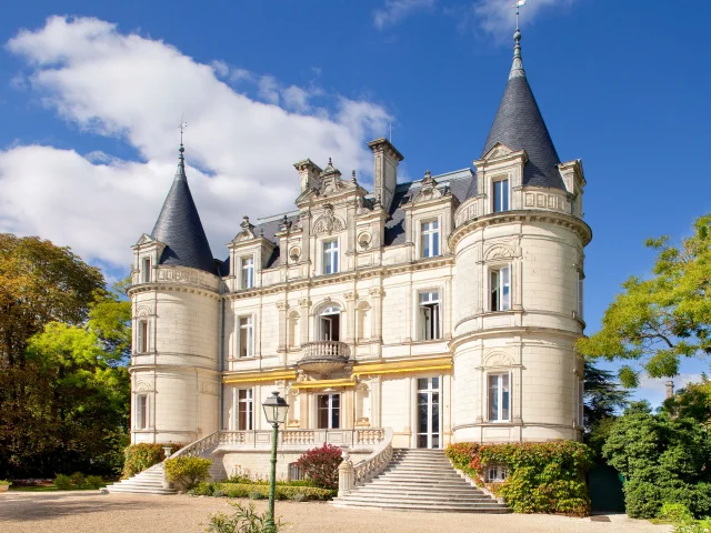
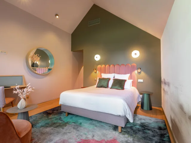
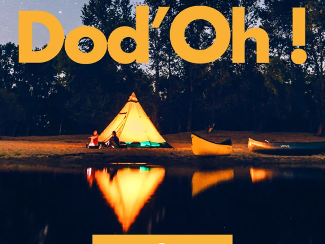
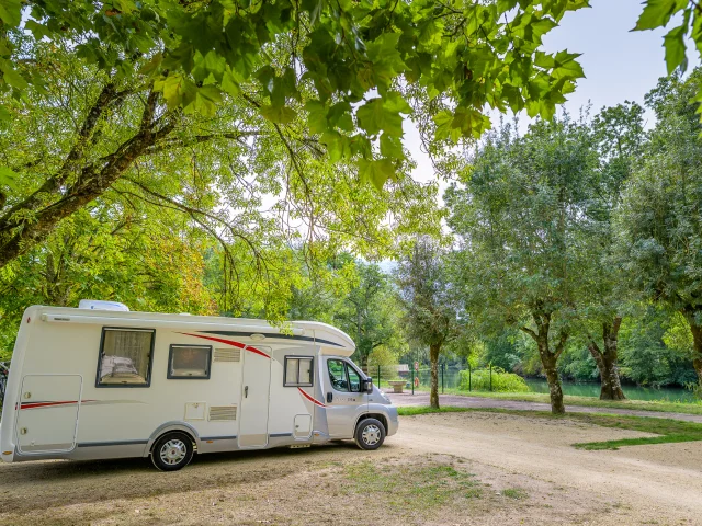
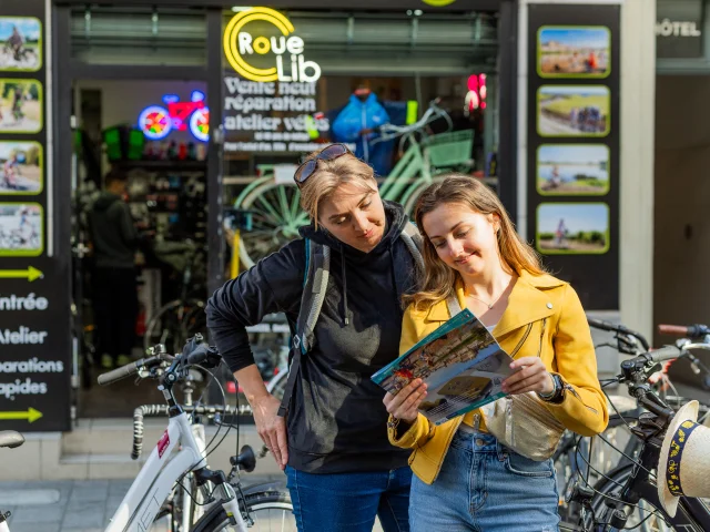
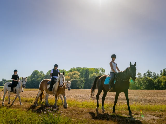
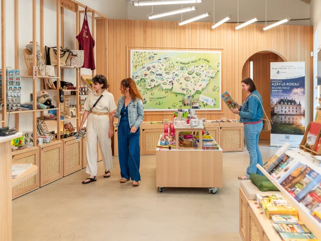
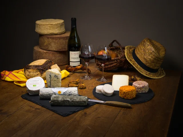
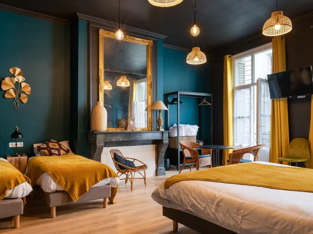
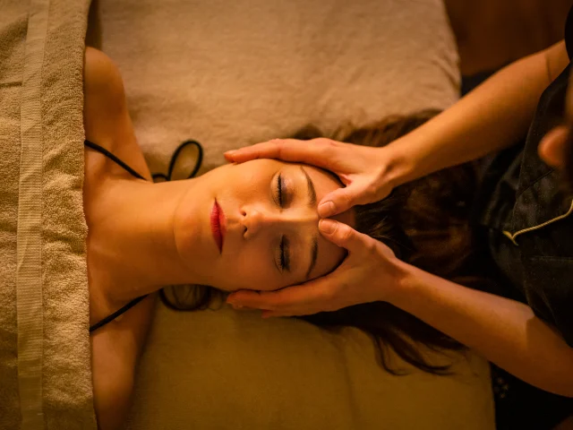
Le Manoir de la Vigneraie©Le Manoir de la Vigneraie|ADT Touraine - JC COUTAND MEHEUTGites with swimming poolRandonnée autour du Chateau de Champchevrier, à Cléré-les-Pins.©Randonnée autour du Chateau de Champchevrier, à Cléré-les-Pins.|ADT Touraine / Jean-Christophe CoutandAll toursInteractive map of the Touraine Val de Loire destination©Interactive map of the Touraine Val de Loire destination|ADT Touraine - JC COUTANDInteractive mapChâteau of the Domaine de la Tontinière in Veigné©Château of the Domaine de la Tontinière in Veigné|Domaine de la TontinièreA night in a château-hotelRoom at the Auberge Pom'Poire in Azay-le-Rideau©Room at the Auberge Pom'Poire in Azay-le-Rideau|David DarraultAt the hotelDod'Oh!©Dod'Oh!|ADT TouraineUnusual and troglodytic accommodationClan Chinon Velos Canoes Credit Adt Touraine Jc Coutand 2034 20©Clan Chinon Velos Canoes Credit Adt Touraine Jc Coutand 2034 20|Jean-Christophe COUTAND-MEHEUTAll visits and activitiesCamping Car Park at Azay-Le-Rideau©Camping Car Park at Azay-Le-Rideau|ADT Touraine - JC COUTAND MEHEUTThe châteaux of the Loire by motorhomeRoue Libre bike rental in Tours©Roue Libre bike rental in Tours|ADT Touraine - JC COUTANDBike hireHorse riding in Touraine©Horse riding in Touraine|ADT Touraine - JC COUTANDHorse riding holidays and outingsAzay-Chinon Tourisme Office d'Azay-le-Rideau©Azay-Chinon Tourisme Office d'Azay-le-Rideau|ADT Touraine - JC CoutandTouraine tourist officesFromage de chèvre de Touraine Le Vazereau©Fromage de chèvre de Touraine Le Vazereau|ADT Touraine - JC CoutandLocal productsHôtel Du Cygne, Tours©Hôtel Du Cygne, Tours|ADT Touraine - JC COUTANDAll accommodationSpa des Thomeaux in Amboise©Spa des Thomeaux in Amboise|ADT Touraine - JC COUTANDHealth and wellness centresGuinguette Sauvage in Chargé, waterside dining©Guinguette Sauvage at Chargé waterside dining|ADT Touraine - JC COUTANDAt the water’s edgeAccrobranche de Saint Benoit Aventure©Accrobranche de Saint Benoit Aventure|ADT Touraine - JC CoutandThe tree course123Next »
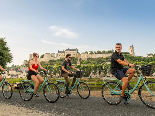
 Canoe, kayak and bike bivouac in ChinonCanoe, kayak and bike bivouac in ChinonCanoe, kayak and bike bivouac in Chinon